August 17, 2024 - Alaska Flight
Kenai - Homer Part One
We're enjoying some good weather today so it's time to go flightseeing in Alaska. Today I'm going to head south, down the east side of Anchorage and to Homer and back.
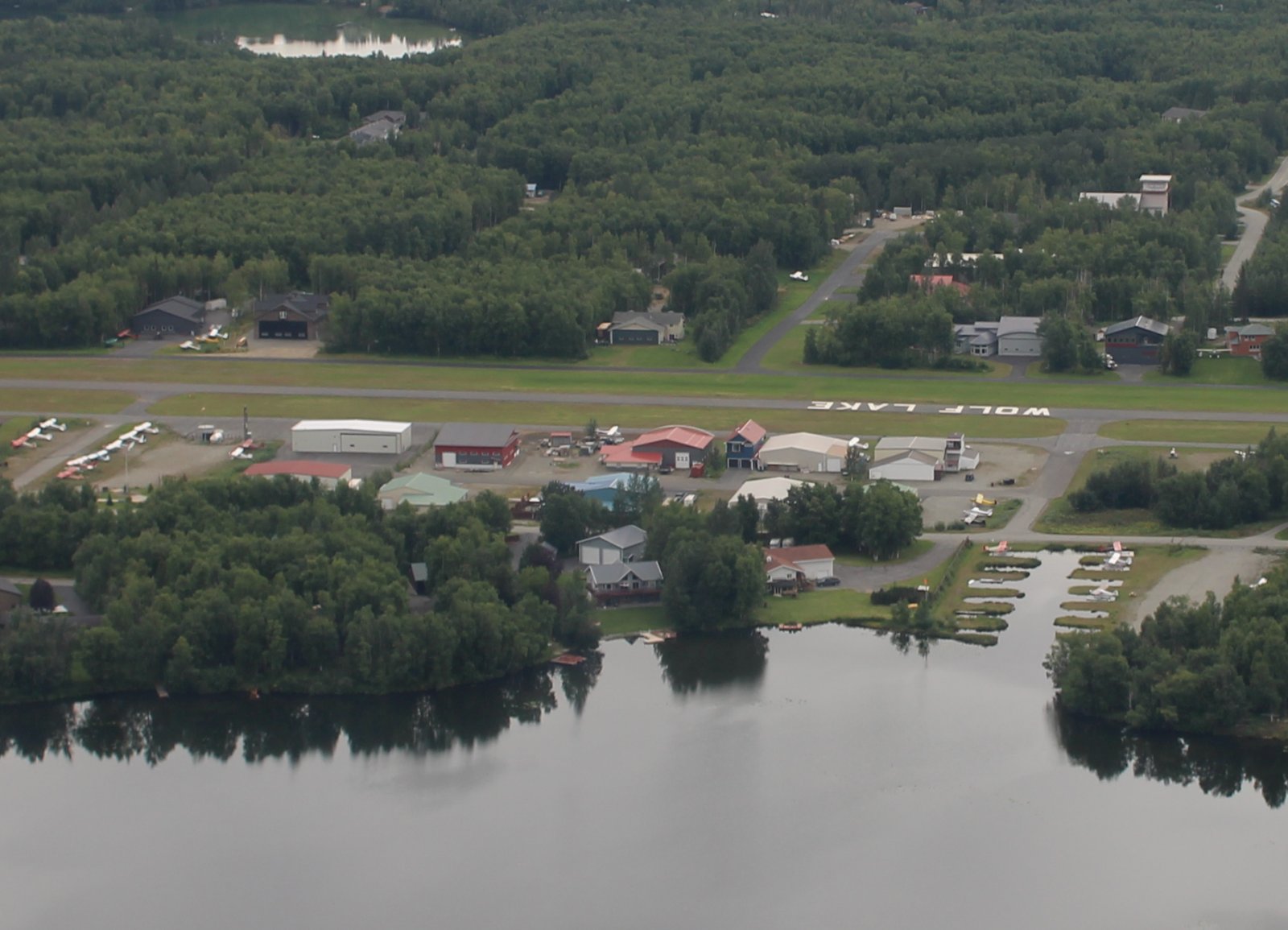
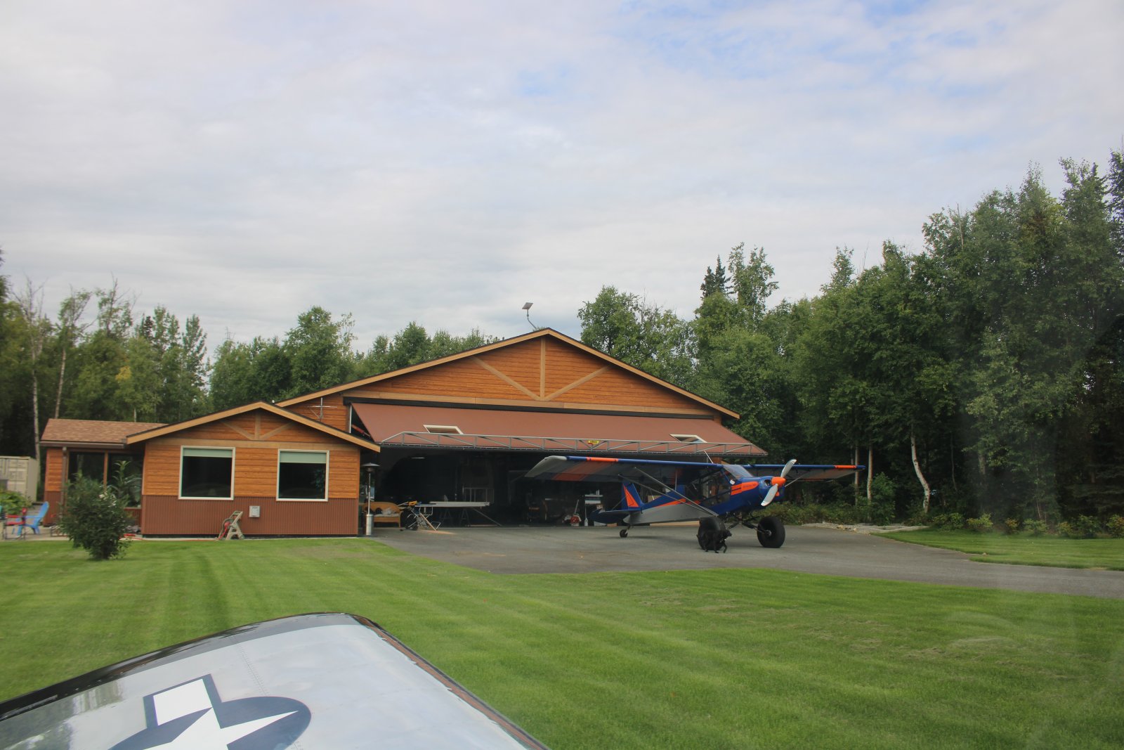
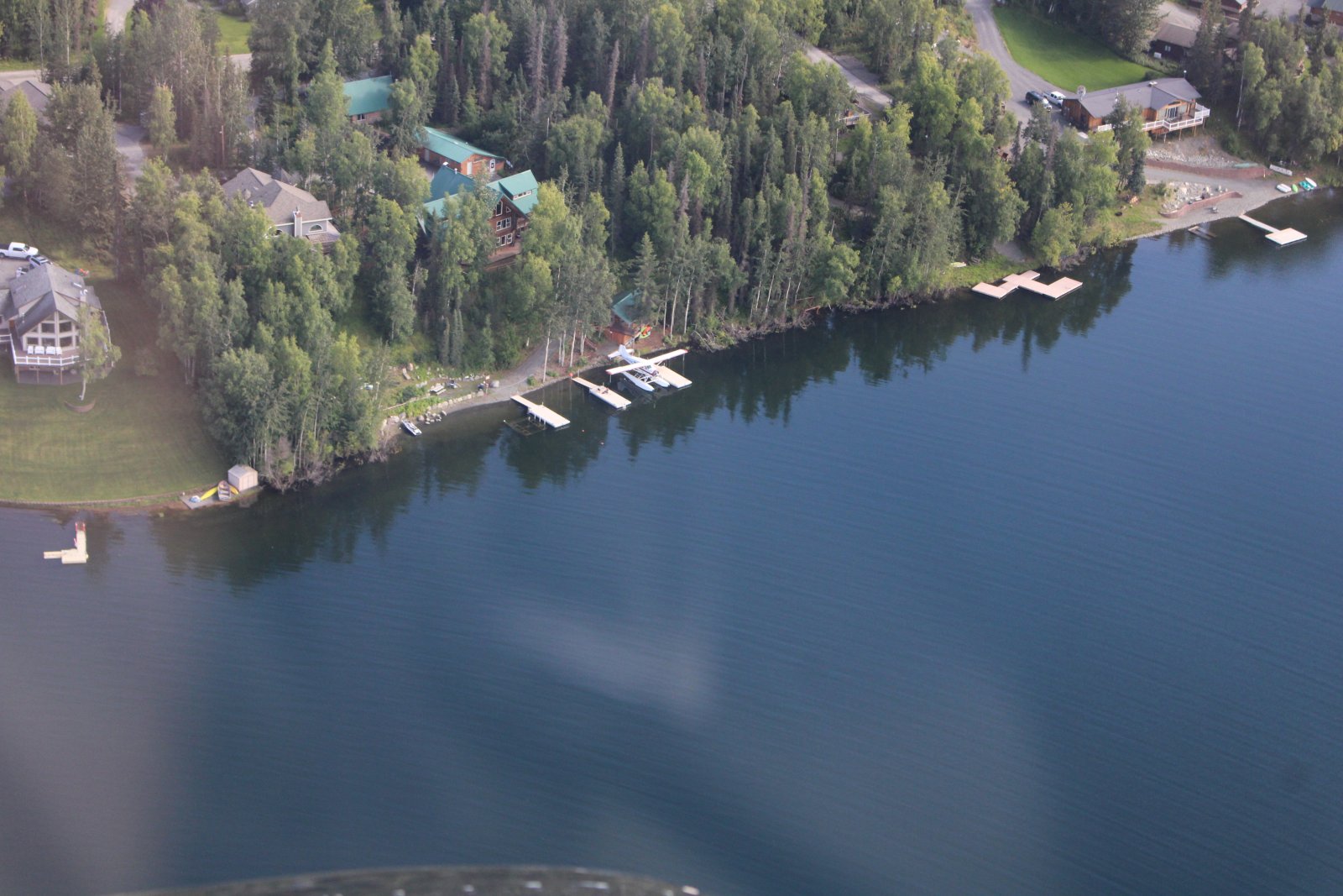
A good look at the seaplane slips on Wolf Lake - at right.
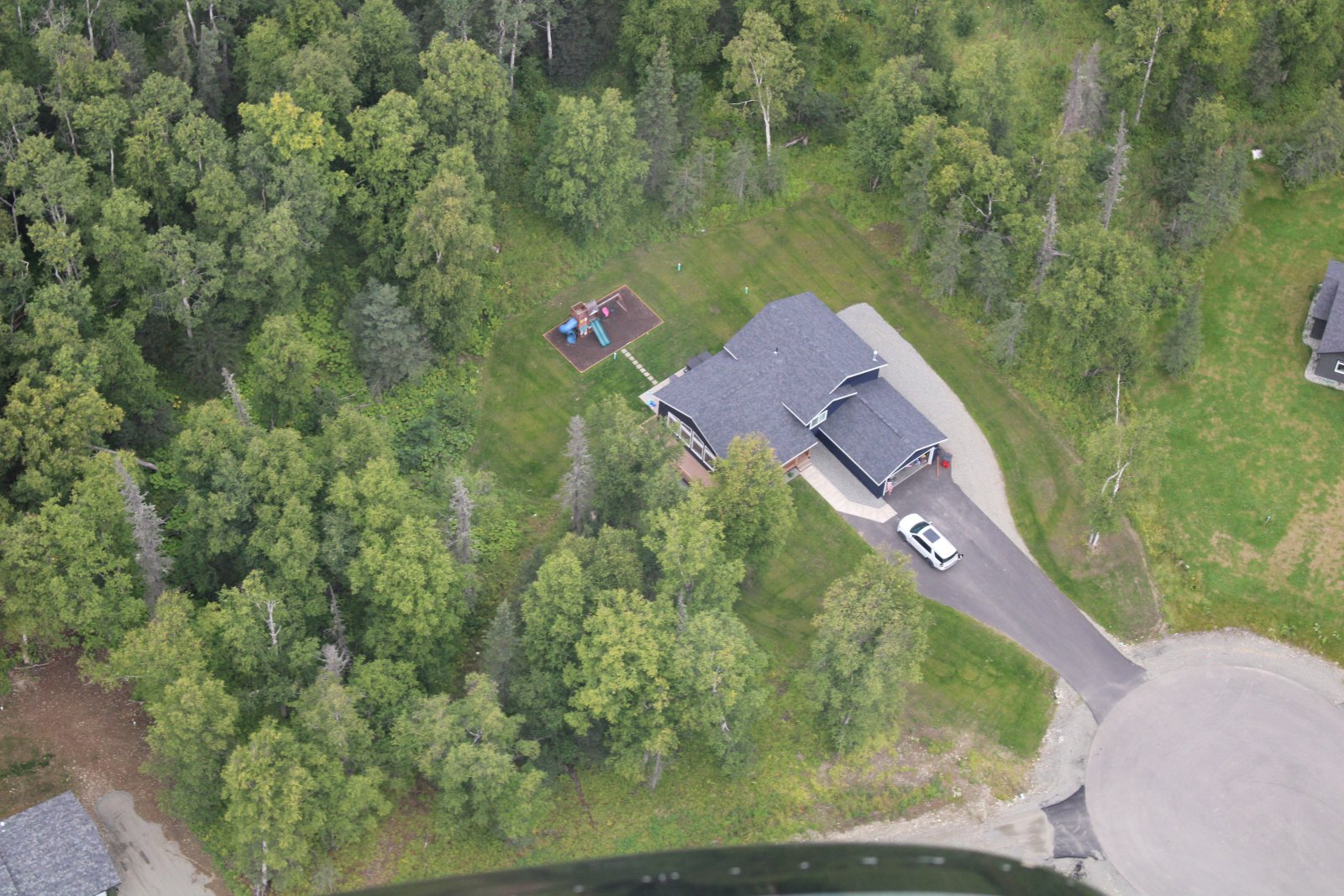
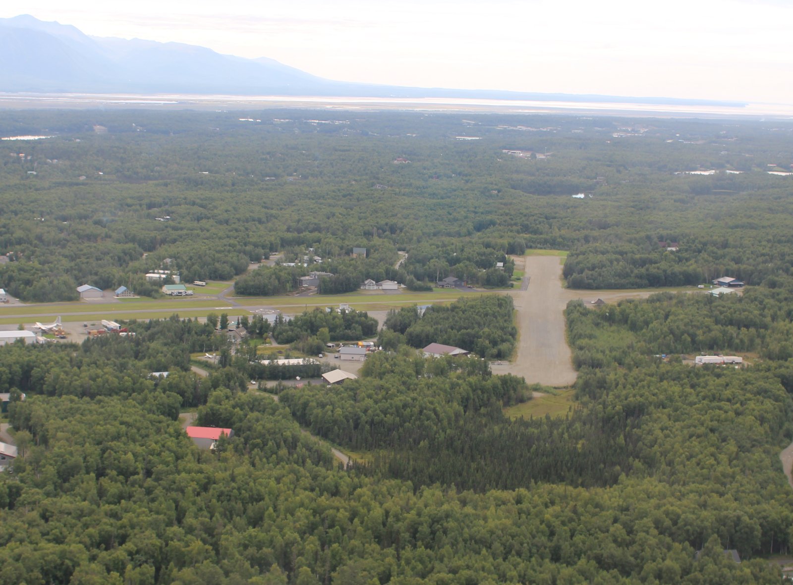
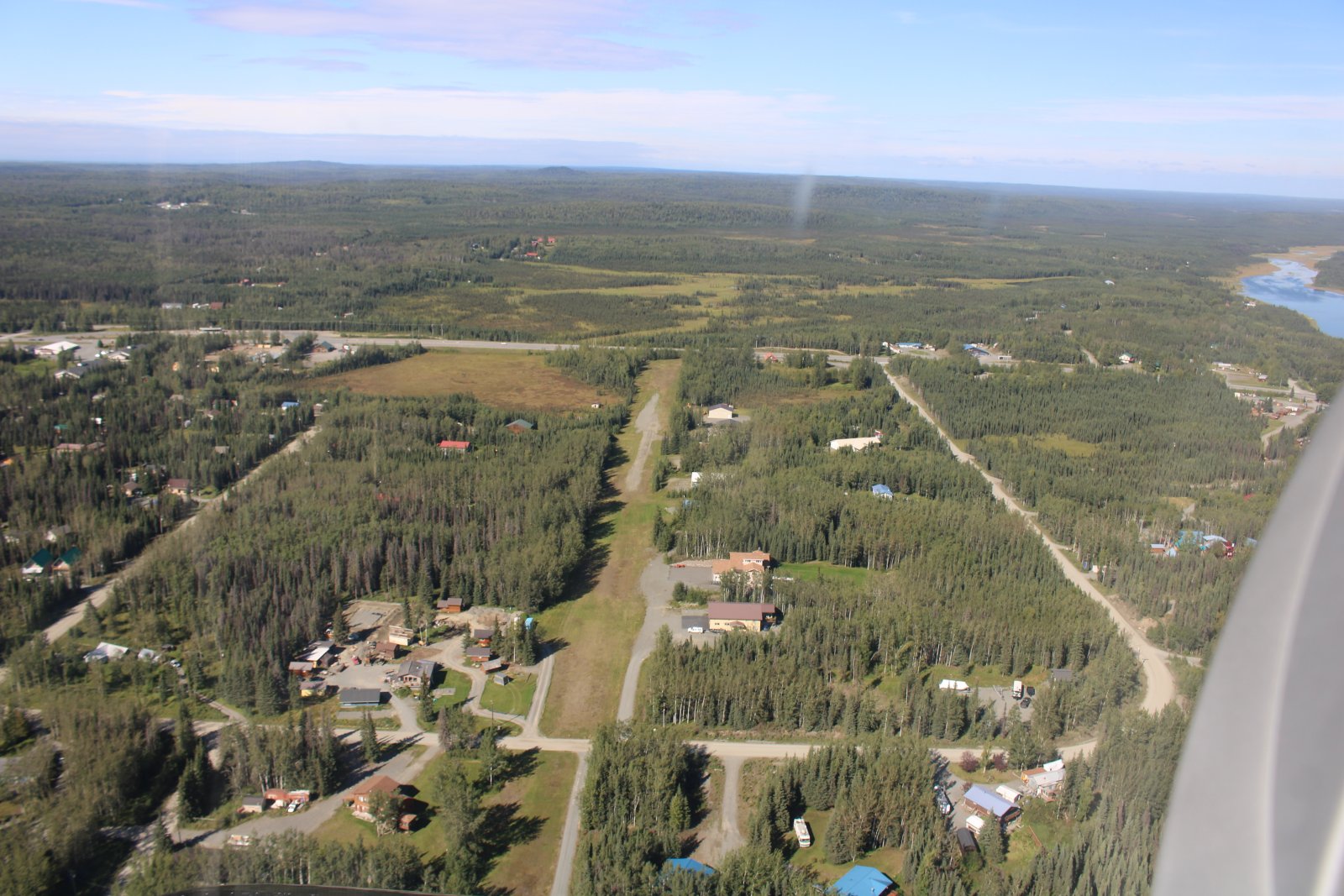
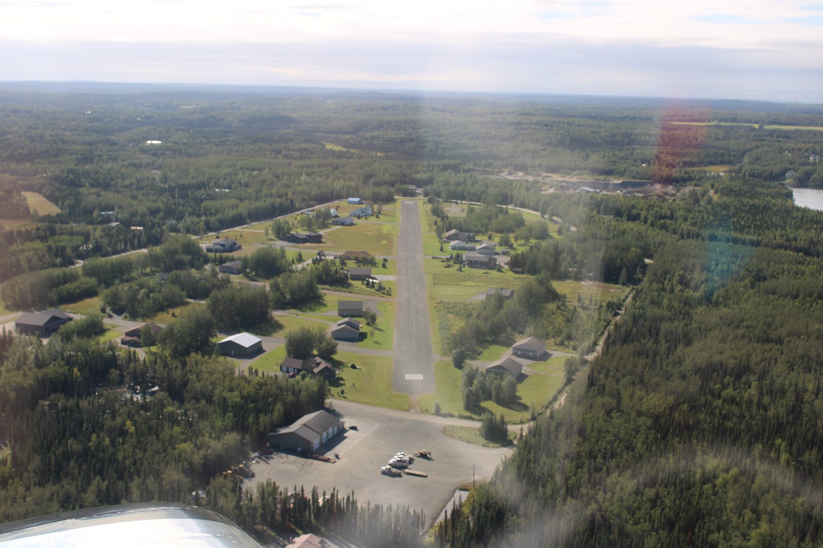
A good look at Wolf Lake's gravel runway.
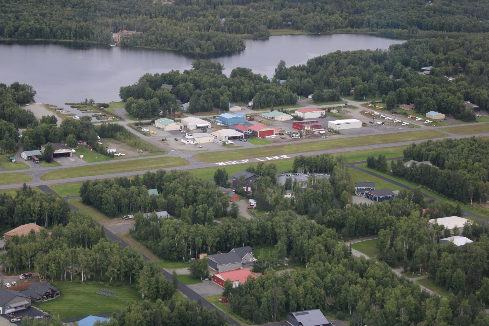
A lot of the bush planes like to use the grass parallel to the main asphalt runway; they don't need much.
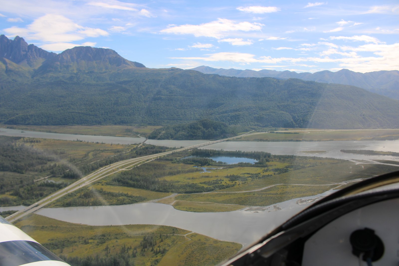
Heading south following Highway One as it crosses the Knik River.
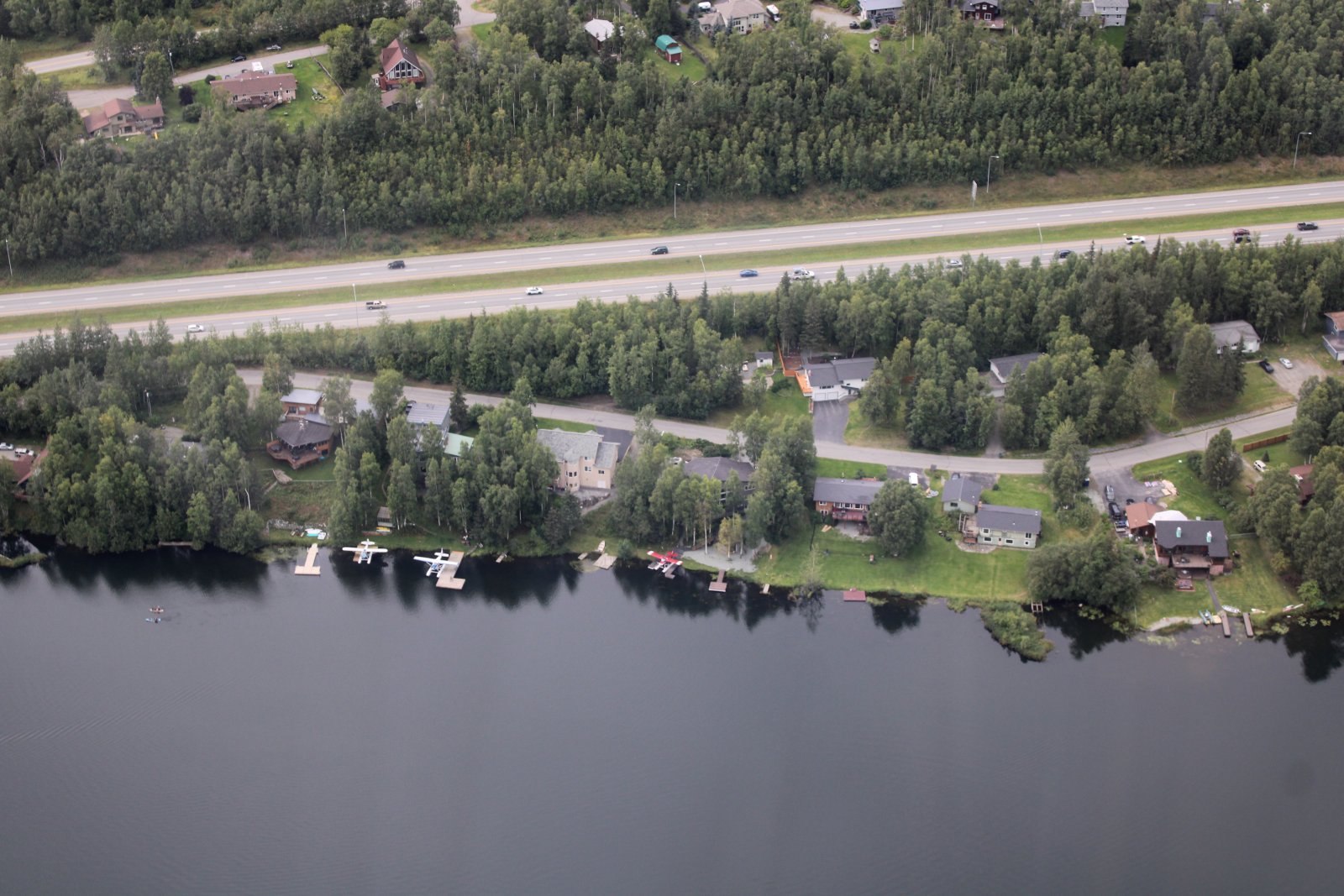
Looking down at Lower Fire Lake, right off of Highway One, where they lakefront houses don't have boat docks, they have seaplane docks!
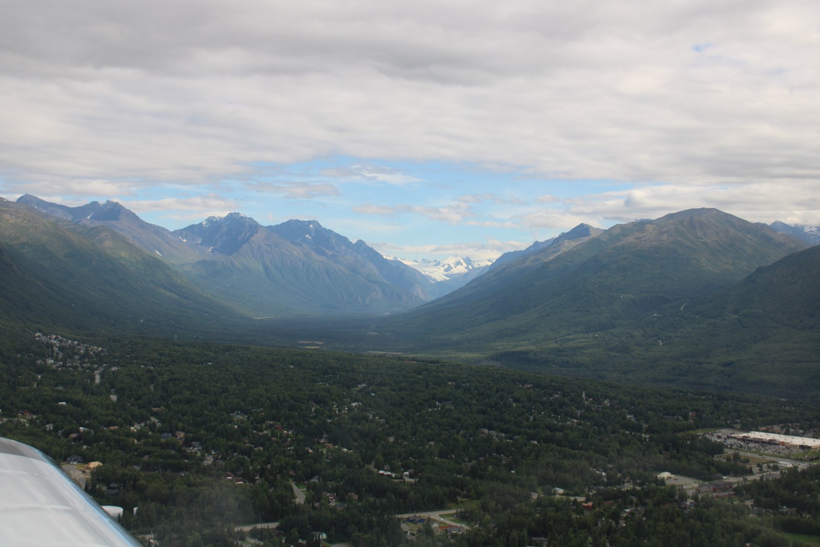
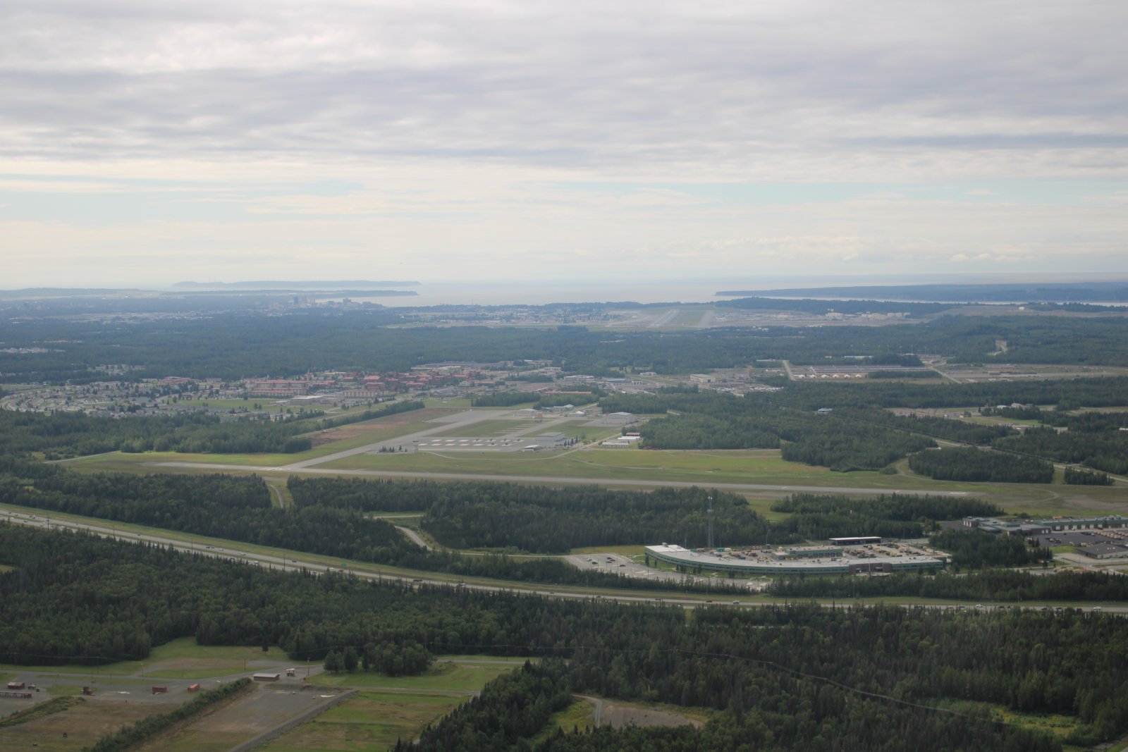
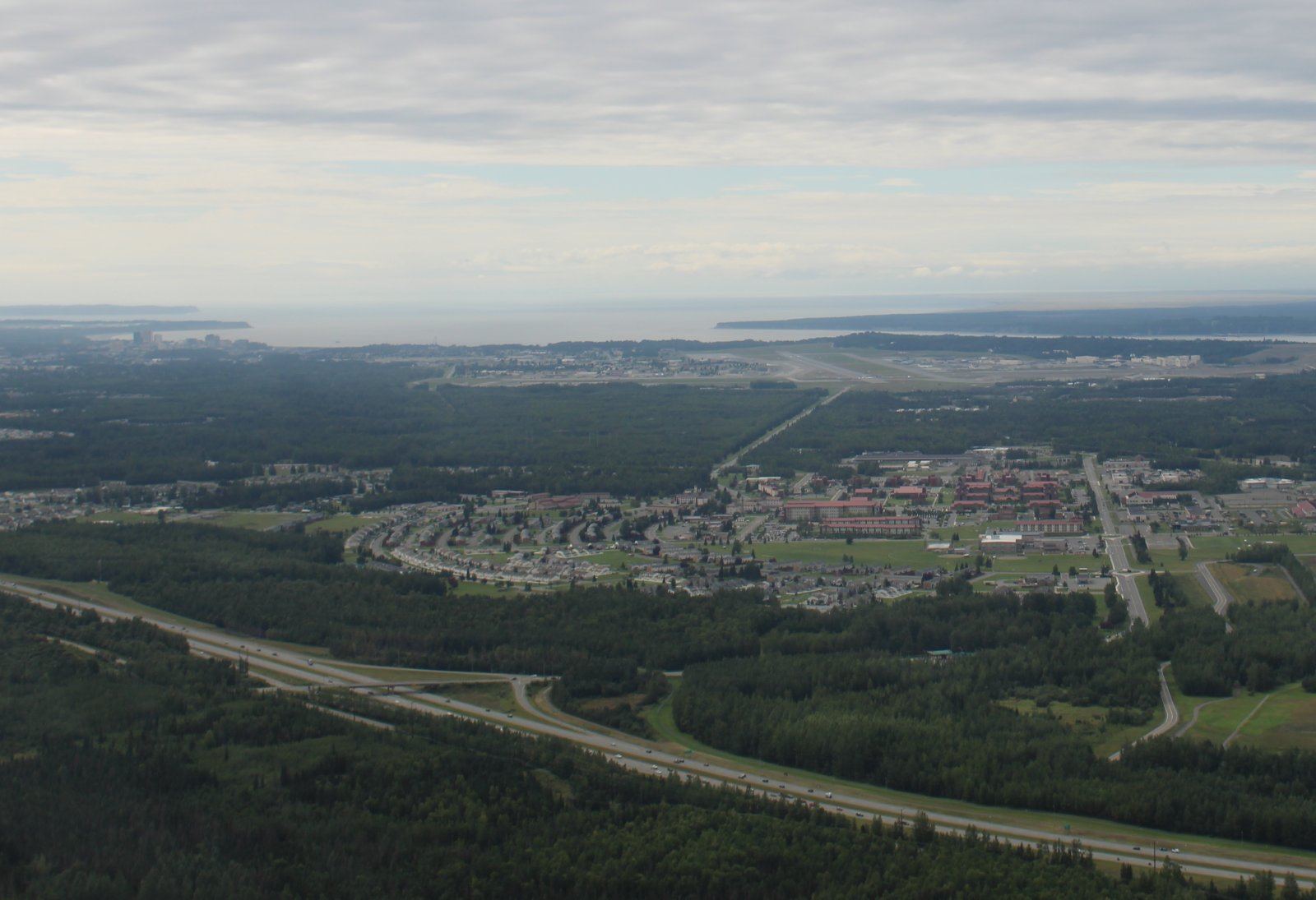
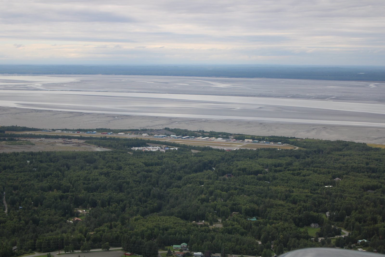
Now Anchorage comes into view. Merrill Field airport is only a mile east of downtown Anchorage and can be seen left of center. Merrill Field is one of the busiest, if not the busiest general aviaiton airports in the U.S. Opened in 1930, it was Anchorage's only airport until 1951, when the Anchorage International Airport opened. It has three active runways.
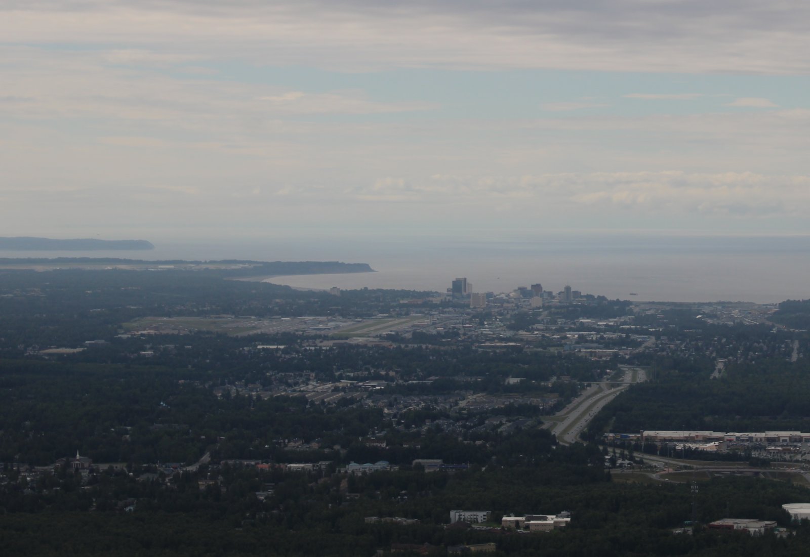
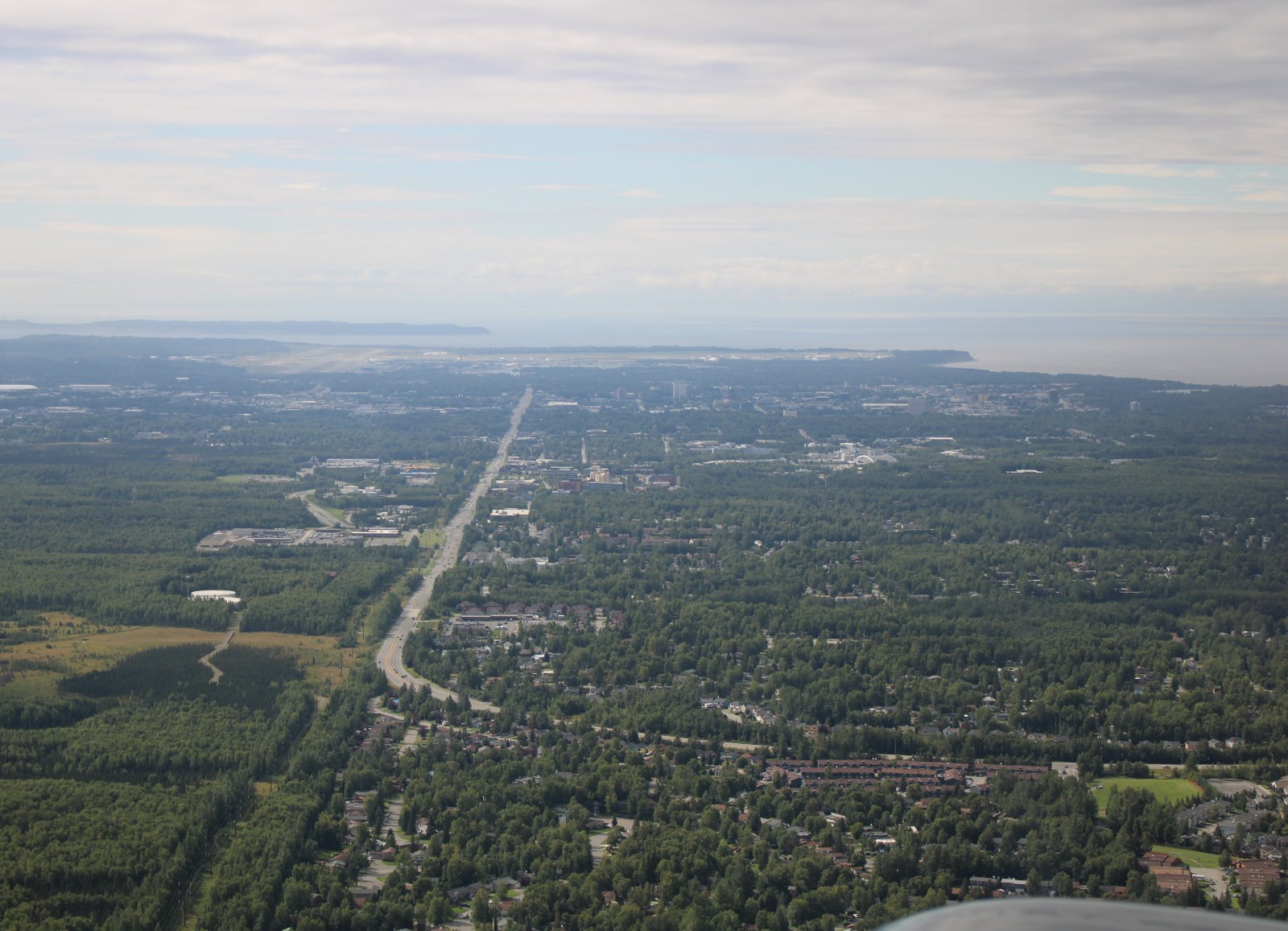
A slightly better look of the International Airport.
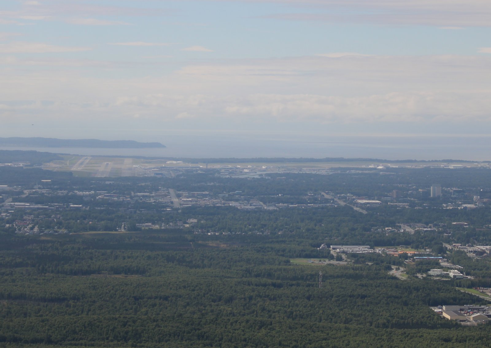
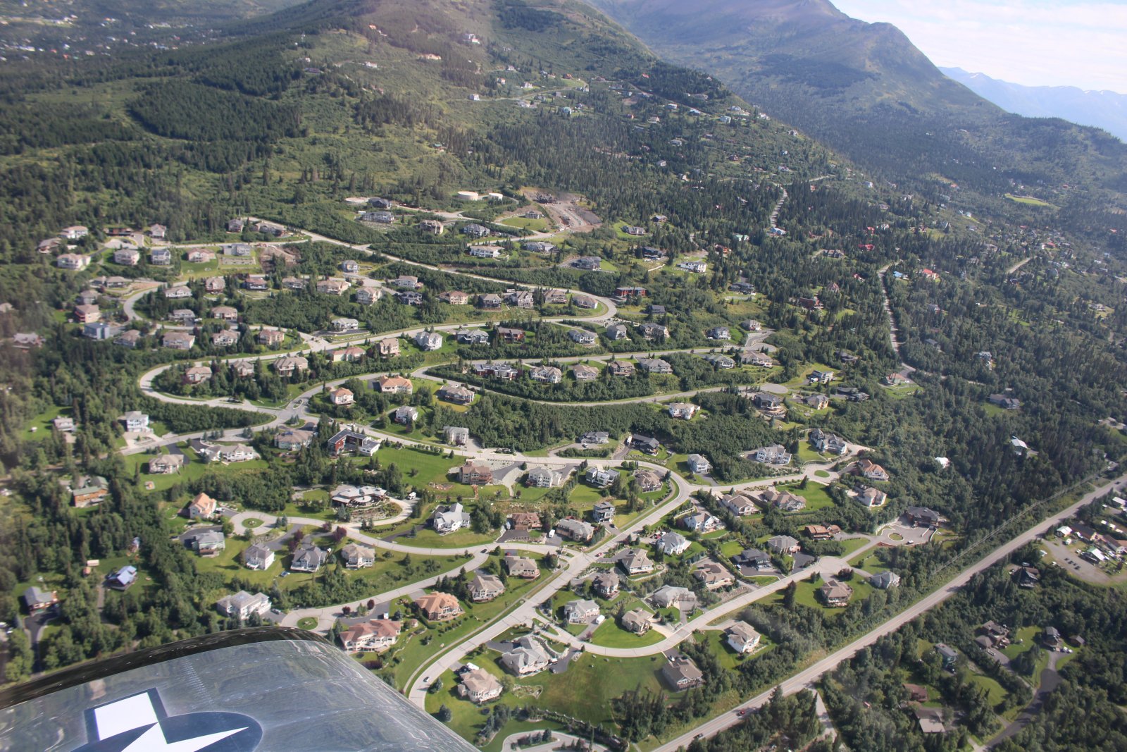
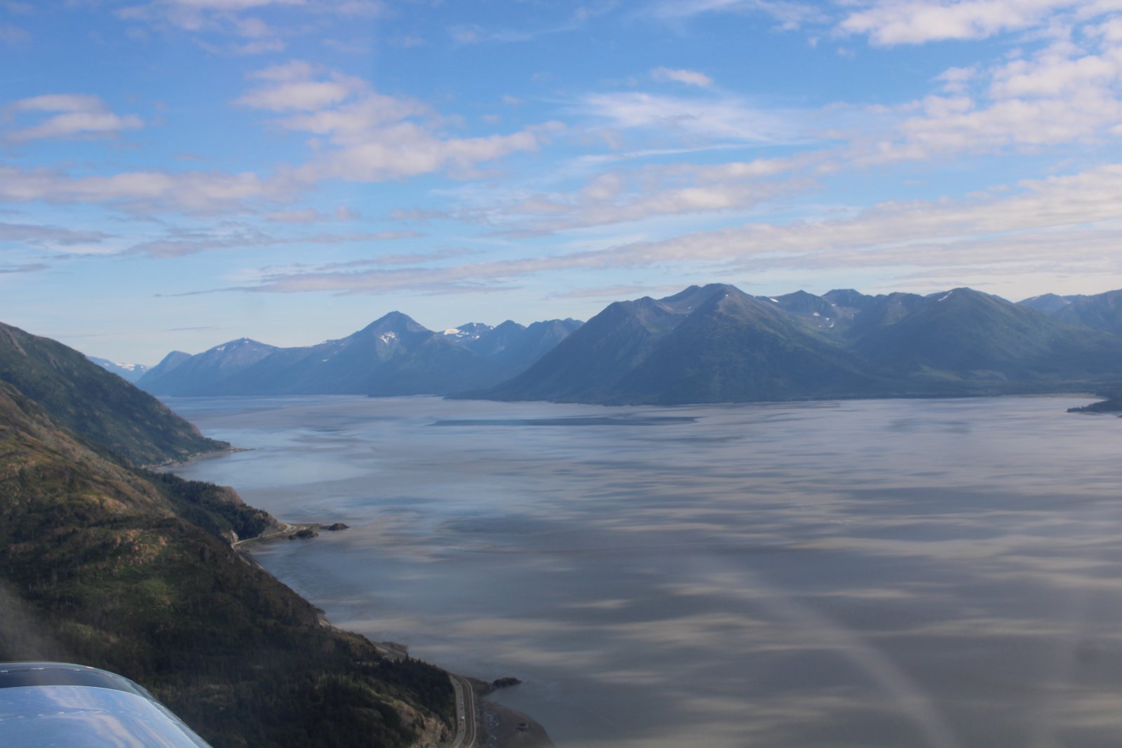
A little ways further and there is Turnagain Arm.
Turnagain Arm was named by William Bligh of HMS Bounty fame. Bligh served as Cook's Sailing Master on his third and final voyage, the aim of which was discovery of the Northwest Passage. Upon reaching the head of Cook Inlet in 1778, Bligh was of the opinion that both Knik Arm and Turnagain Arm were the mouths of rivers and not the opening to the Northwest Passage. Under Cook's orders Bligh organized a party to travel up Knik Arm, which quickly returned to report Knik Arm indeed led only to a river.
Afterwards a second party was dispatched up Turnagain Arm and it too returned to report only a river lay ahead. As a result of this frustration the second body of water was given the disingenuous name "Turn Again". Early maps label Turnagain Arm as the "Turnagain River".
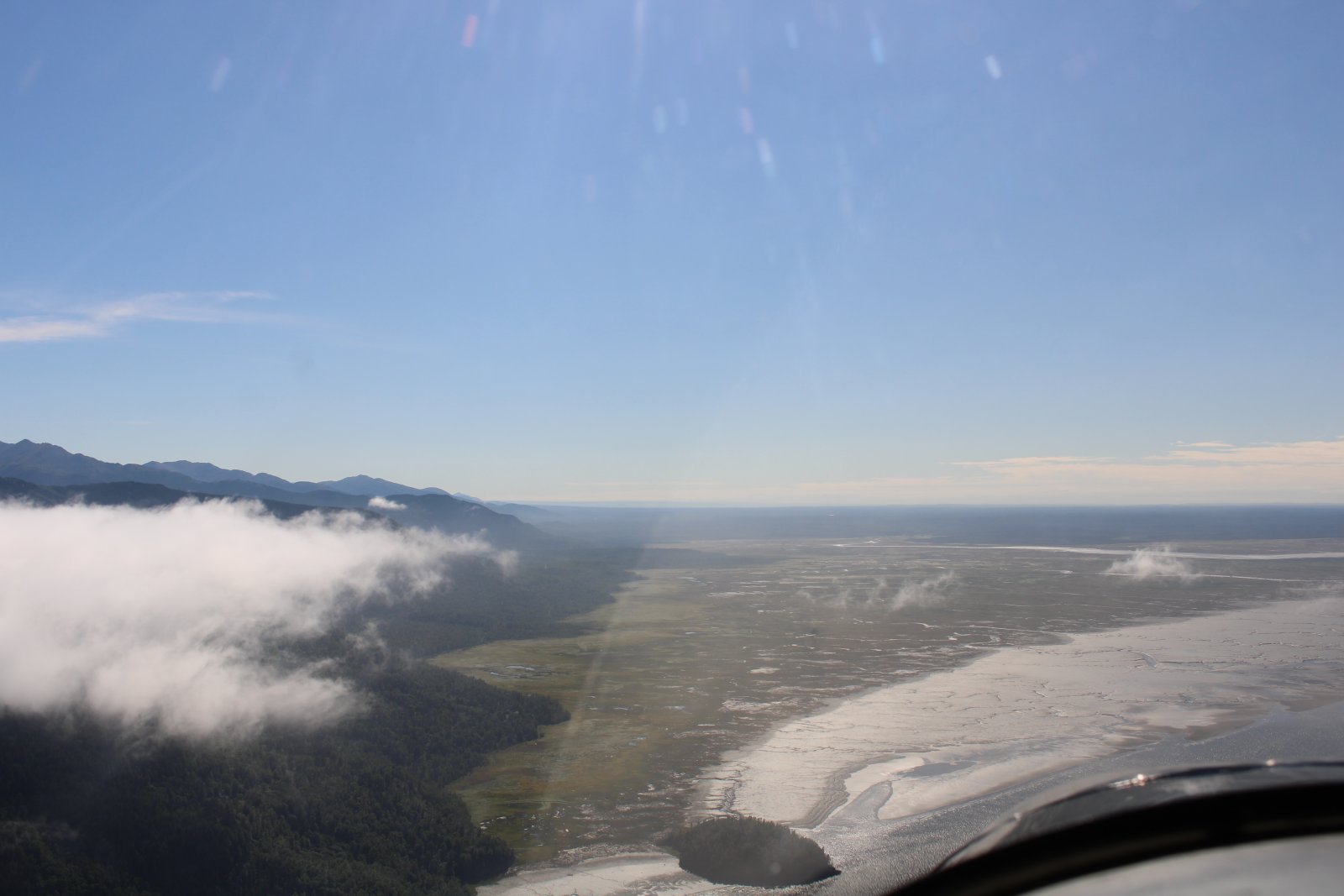
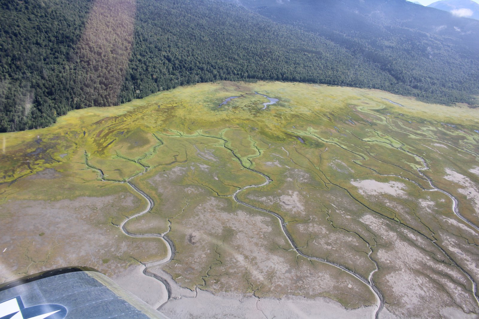
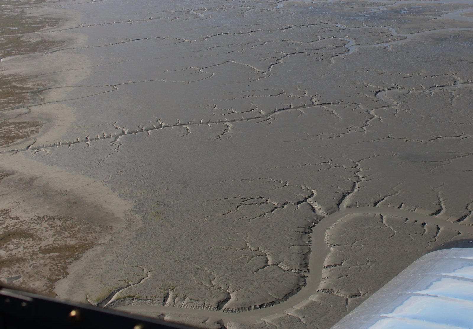
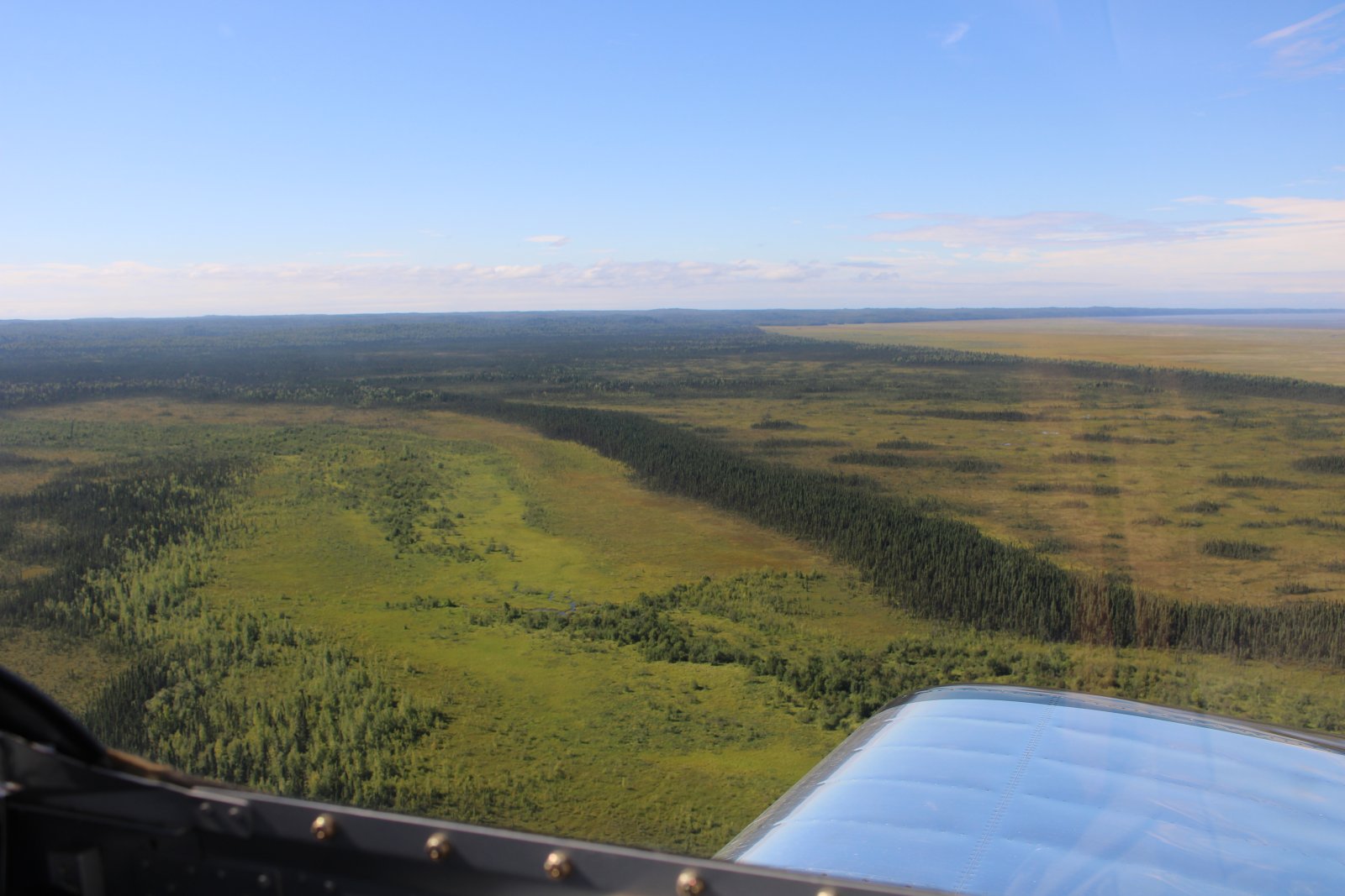
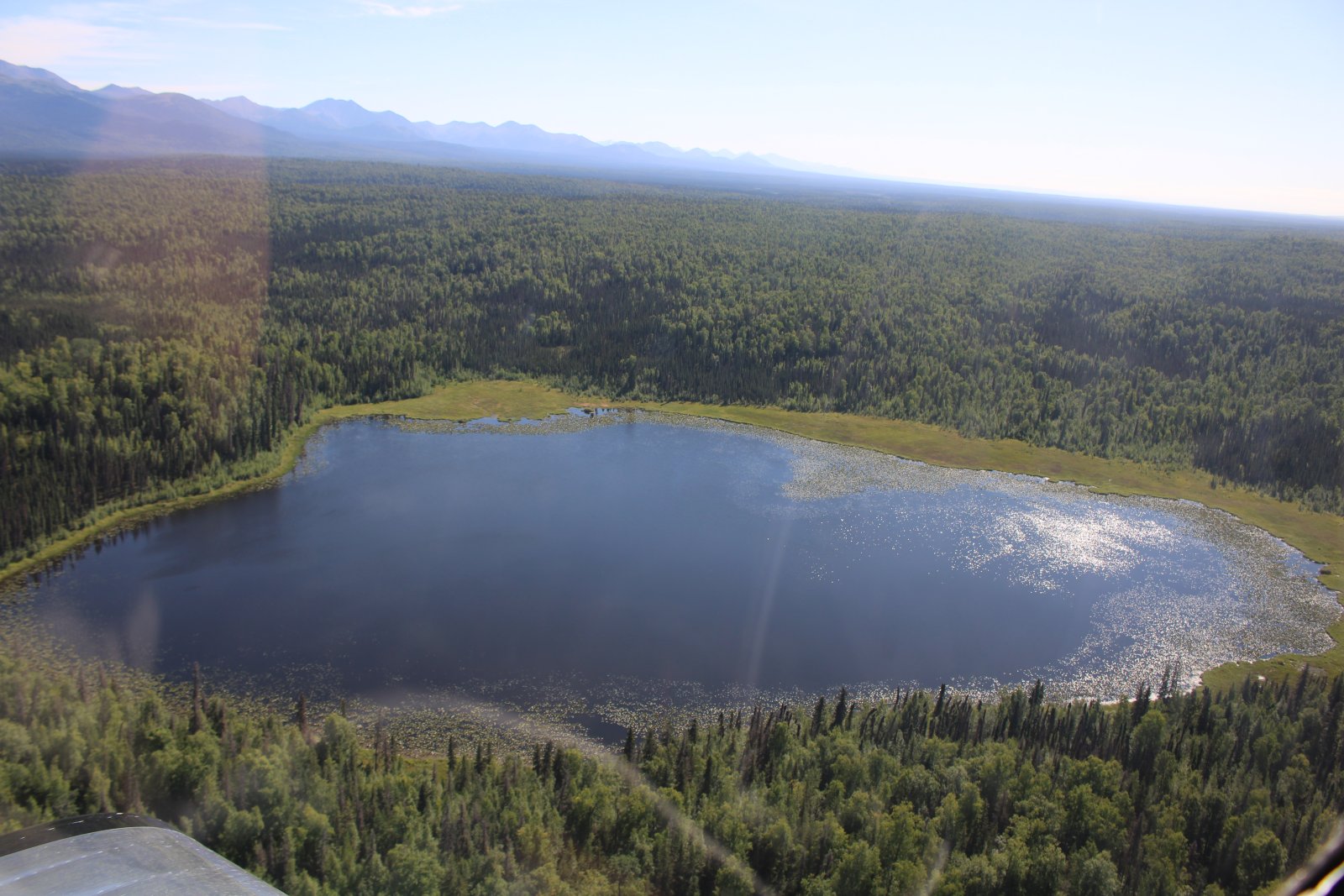
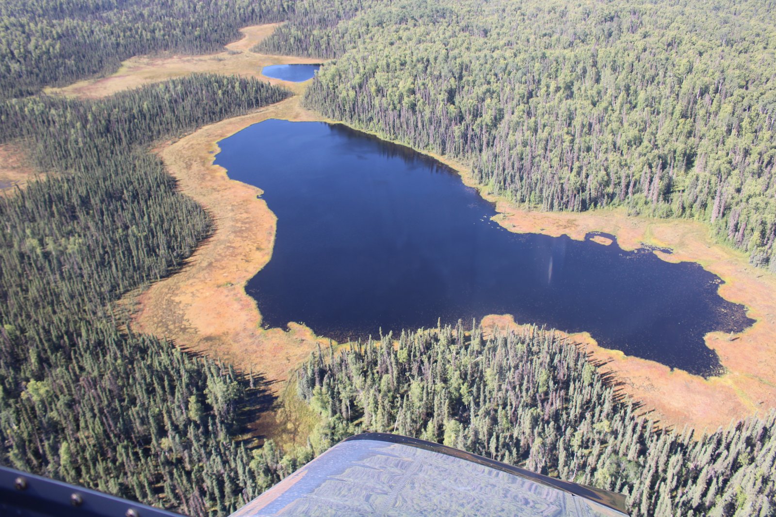
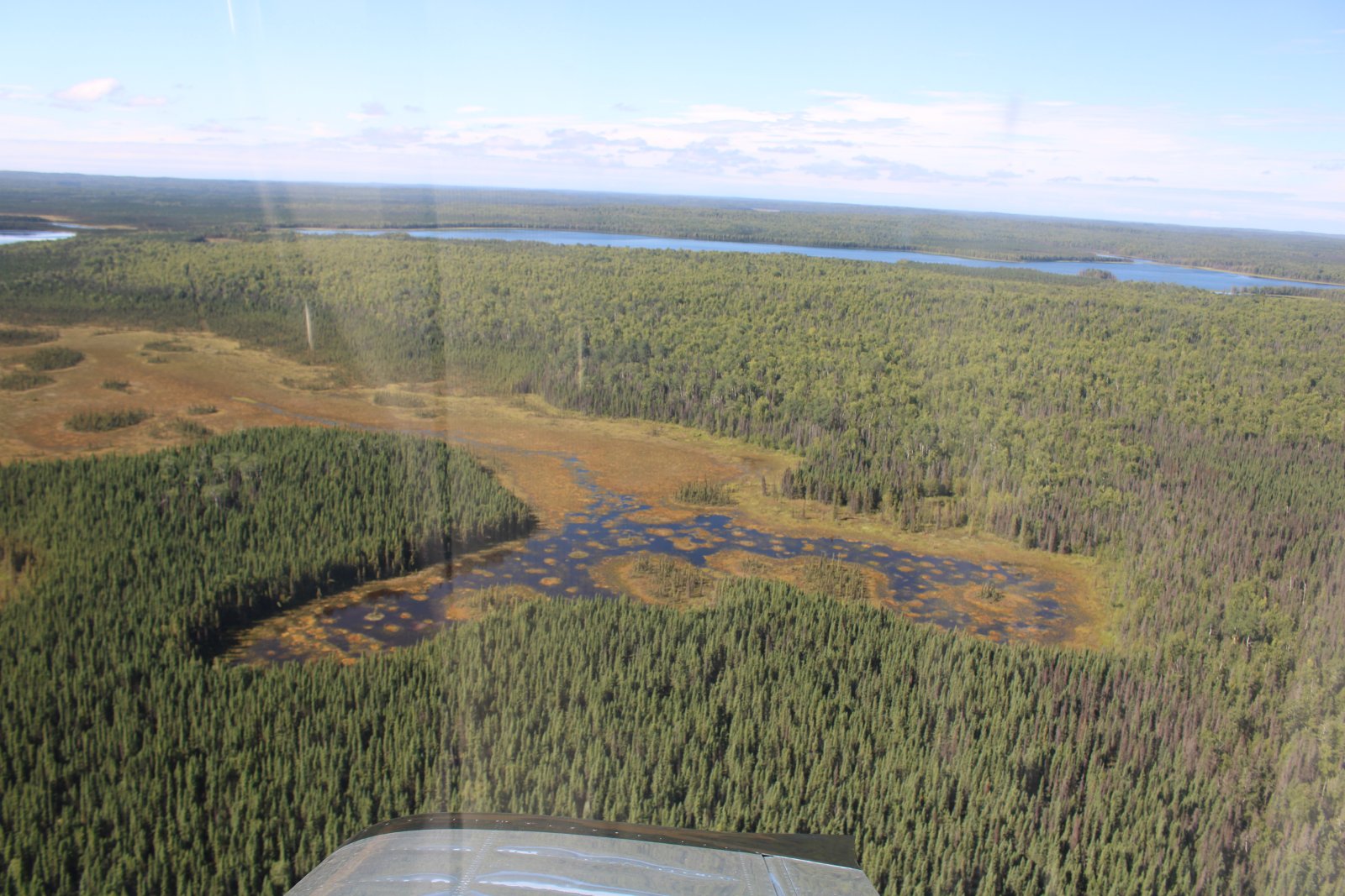
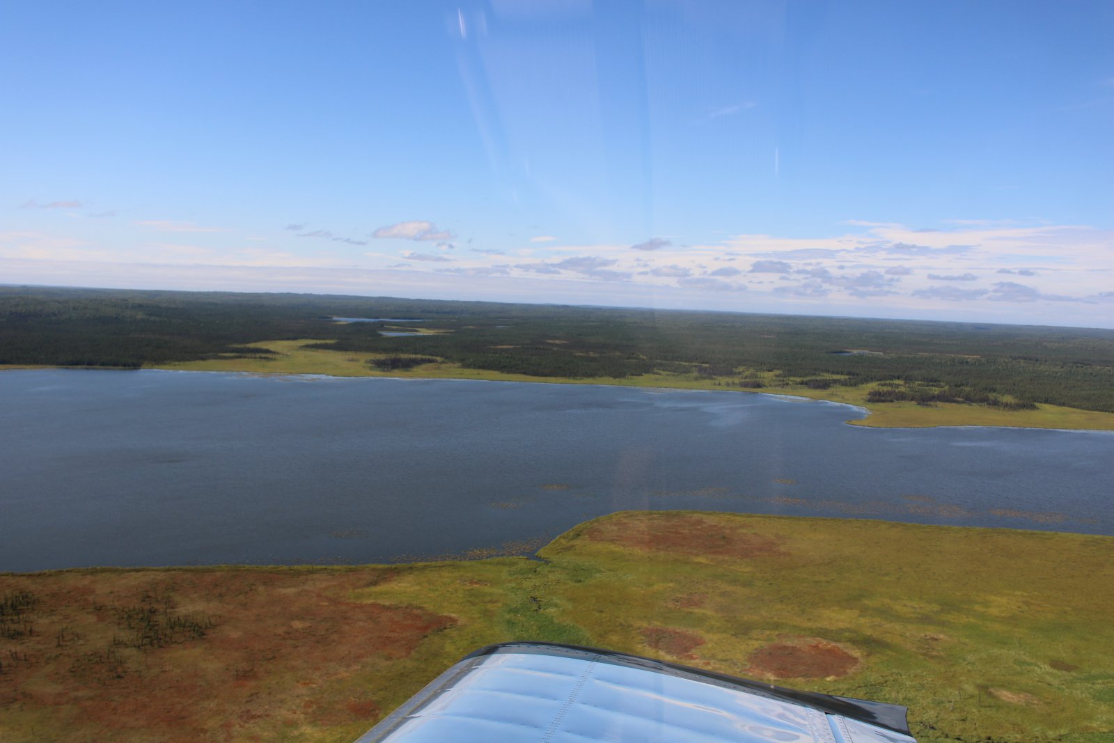
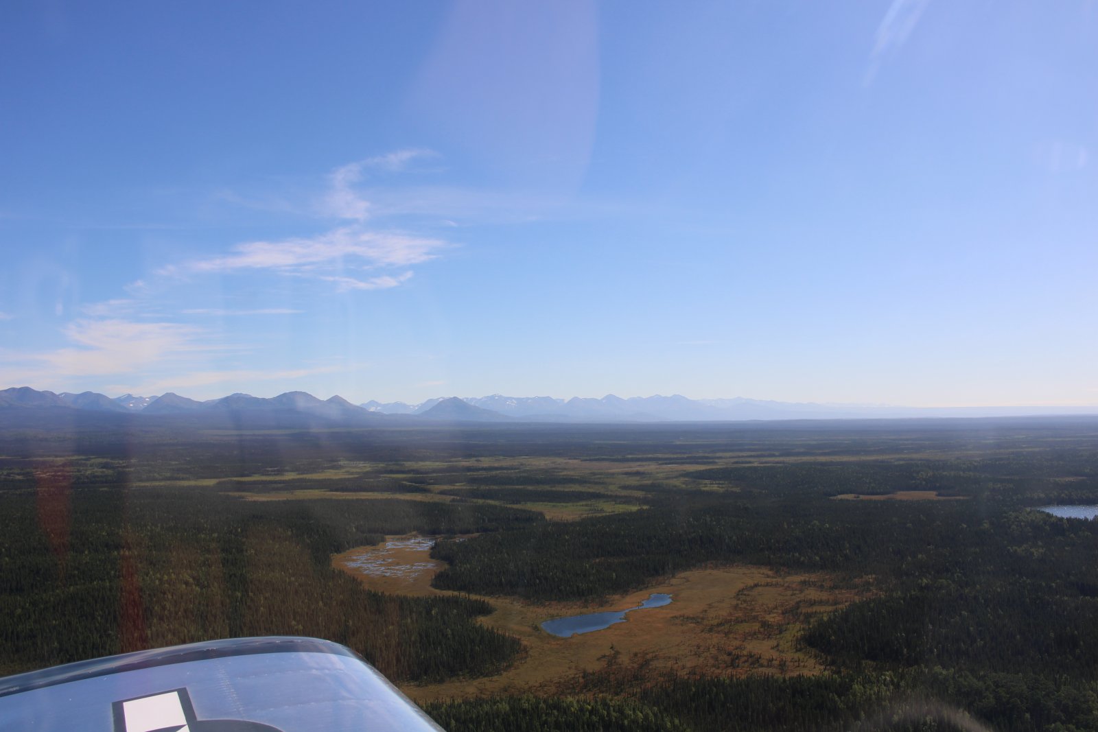
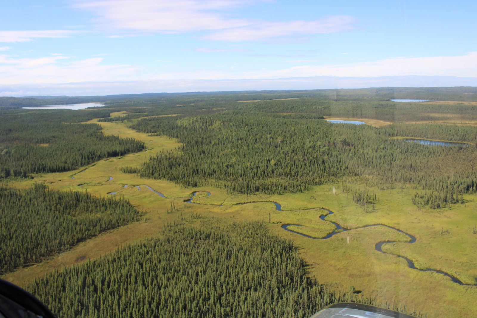
A little creek snakes through the muskeg.
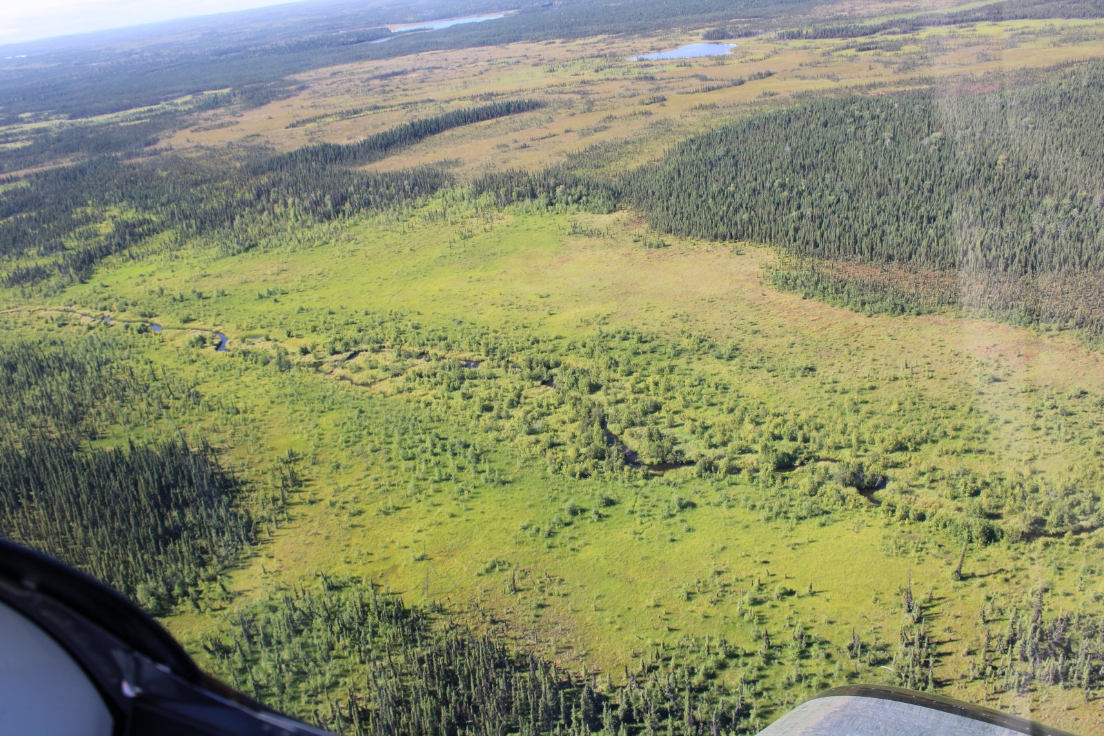
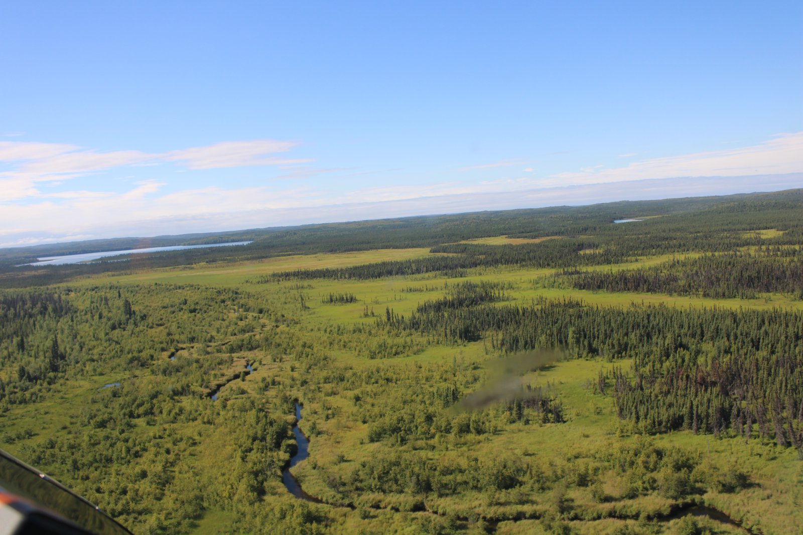
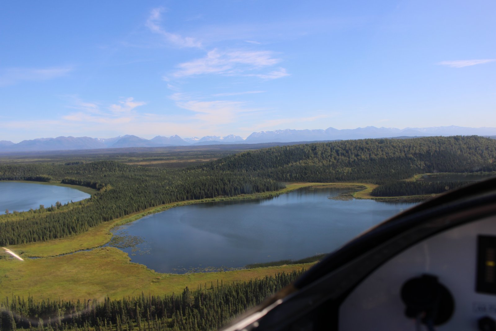
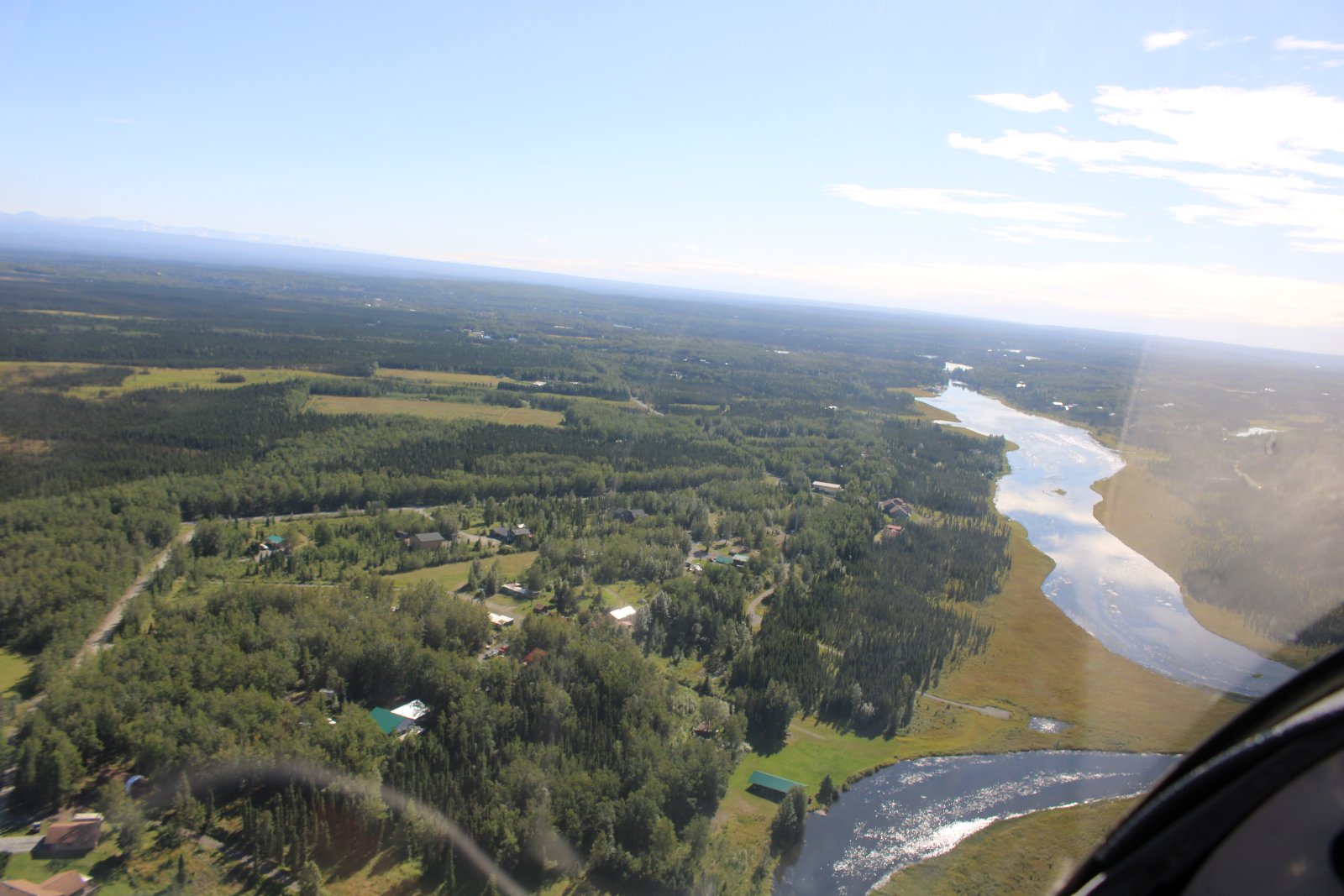
Civilization! I'm on the outskirts of Sterling. That's tthe Moose River at right.
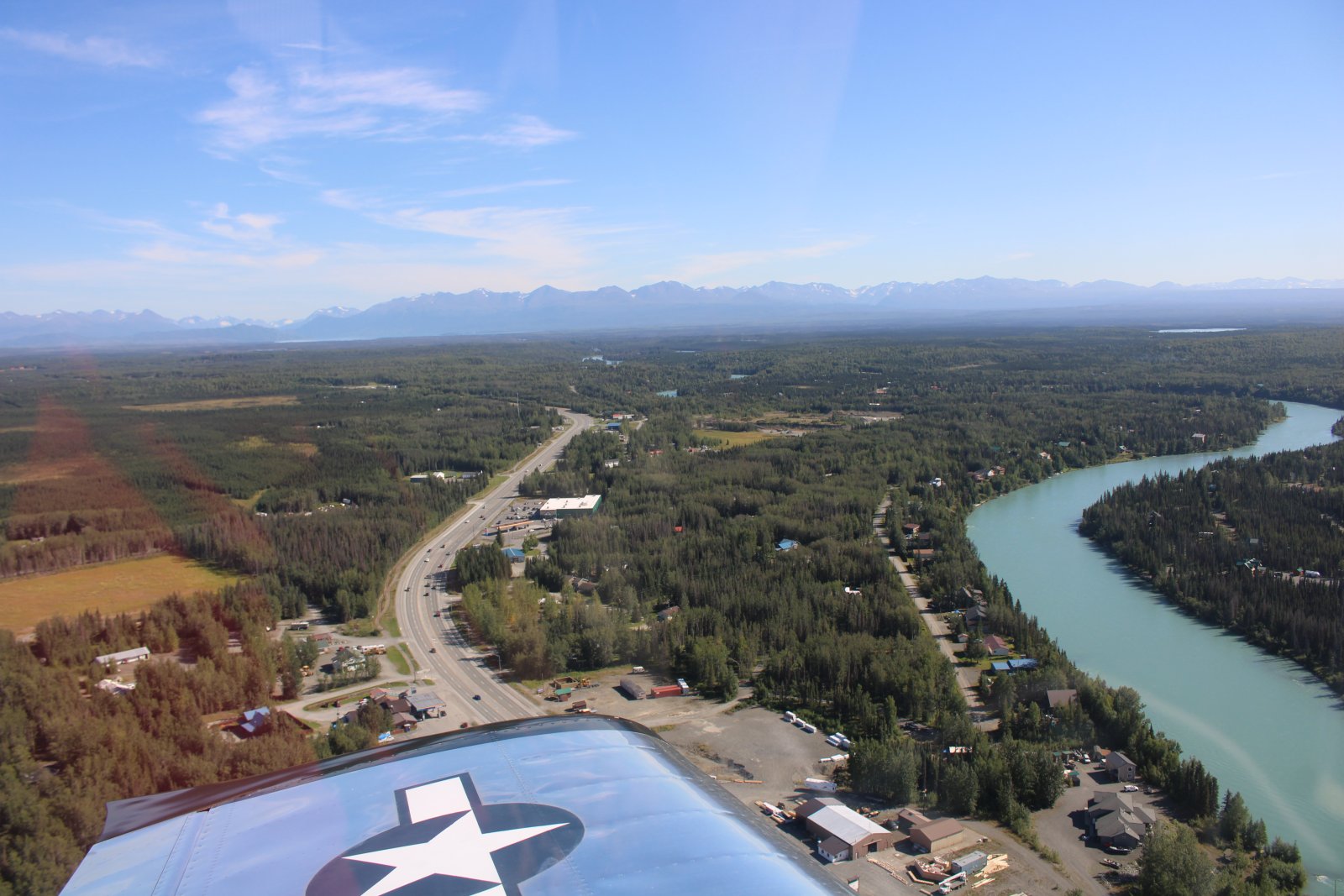
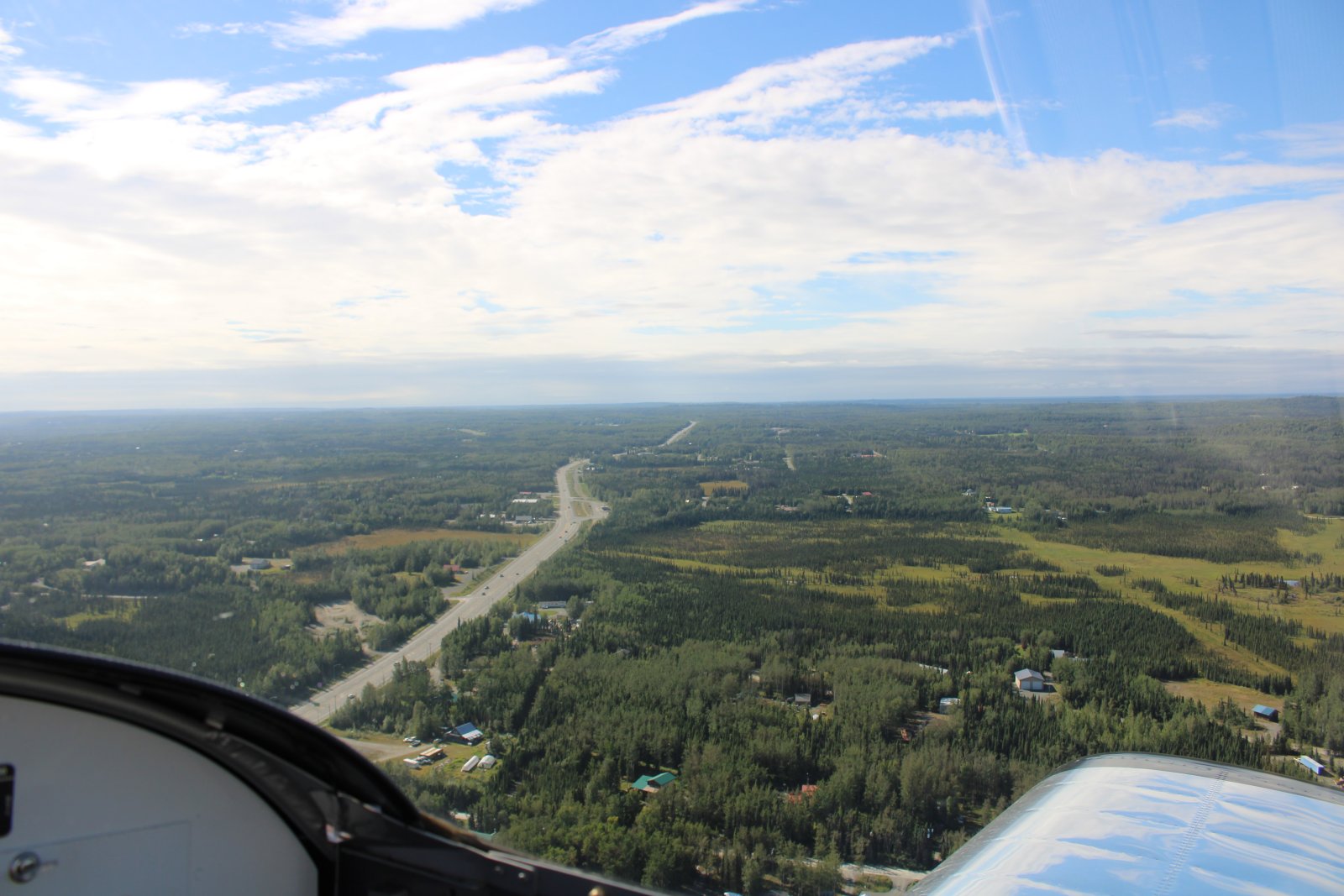
Highway One -- called Sterling Highway here -- continues to the west. It will eventually go all the way to Homer.
Passing Soldatna Airport which has a nice 5,000 foot asphalt runway.
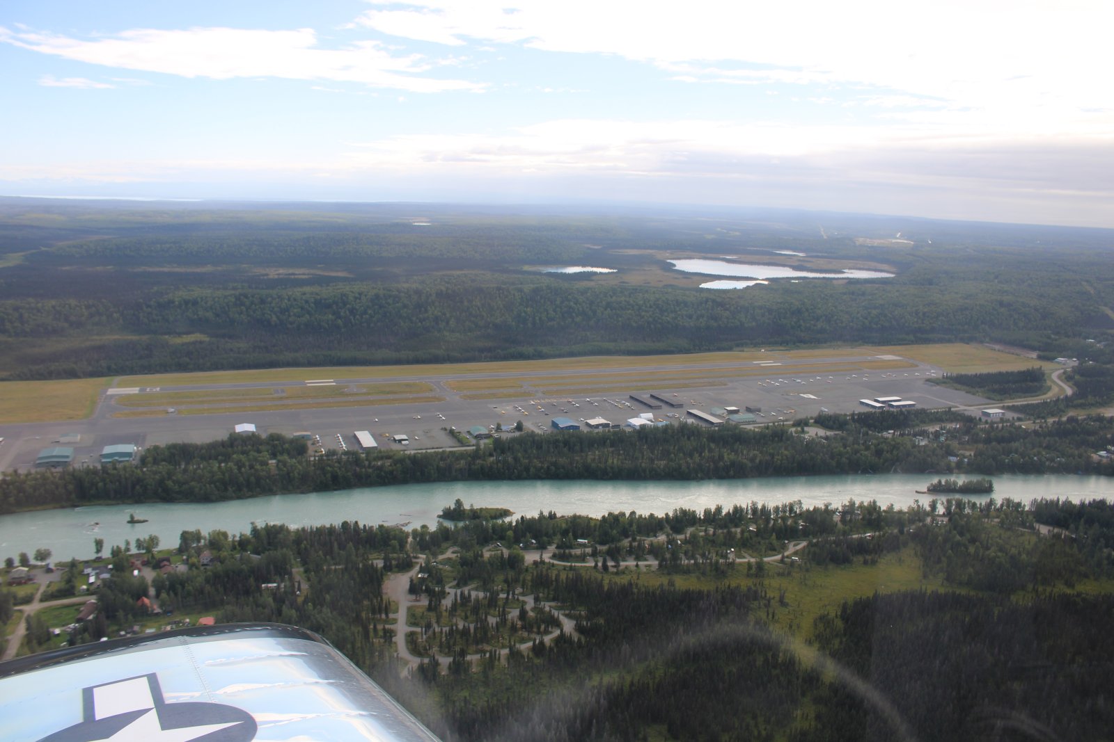
A closer look at Soldatna. They have fuel. Notice the gravel runway parallel to the asphalt one.
There is also a towered-airport 8nm northwest of here called Kenai Municipal Airport. I was surprised there was so much civilization out here.
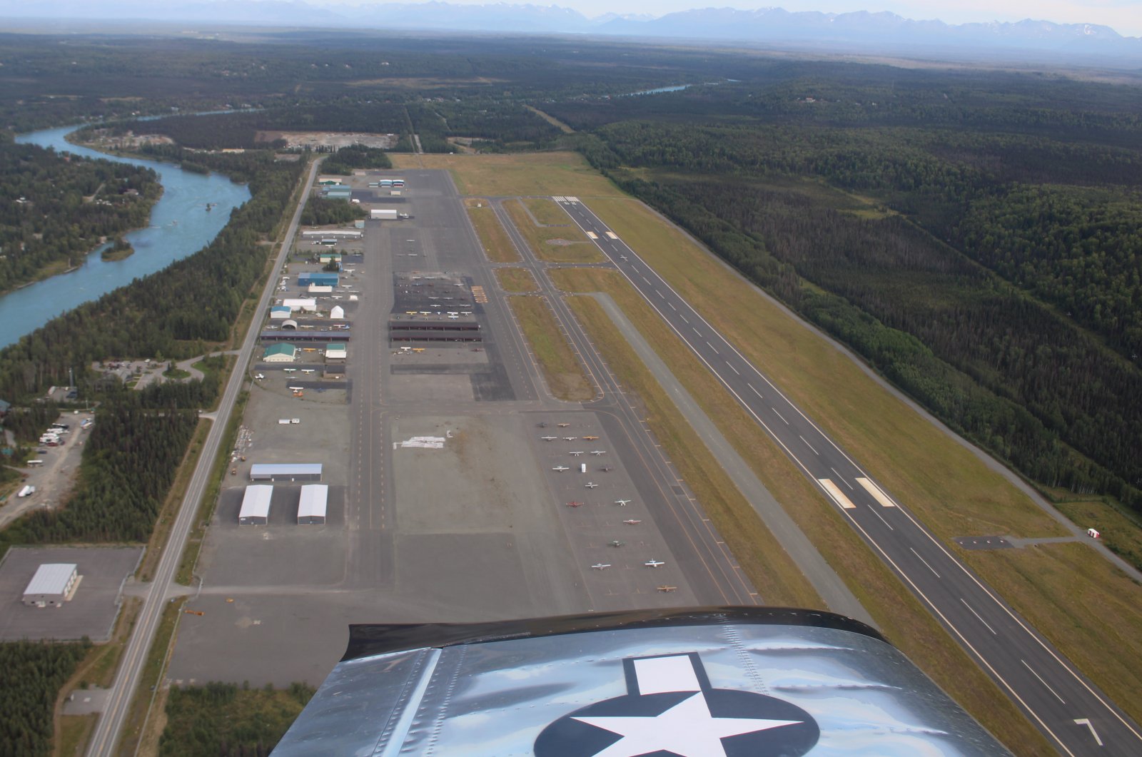
I continue west and shortly thereafter I come to Cook Inlet. I turn left and follow the coast south.
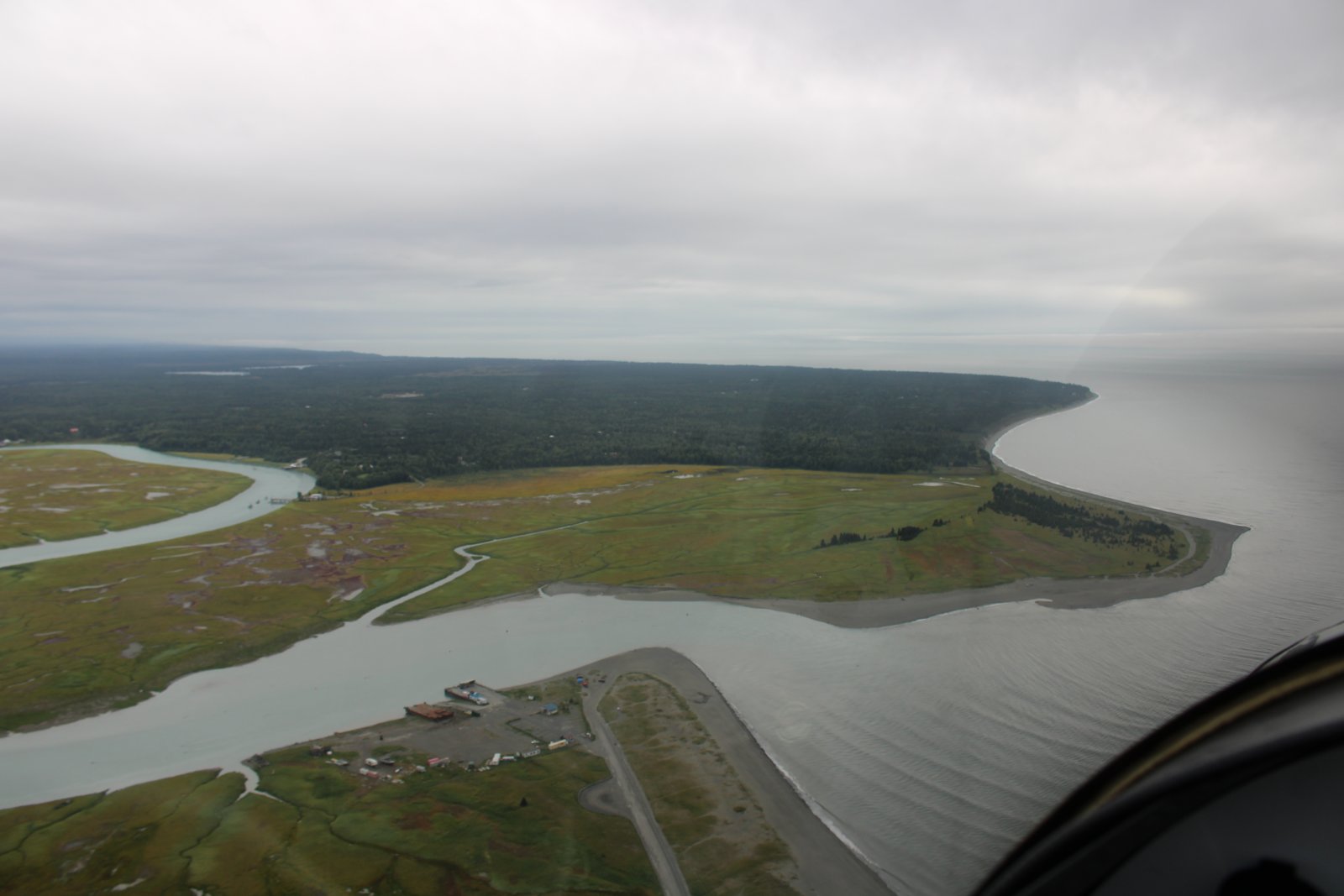
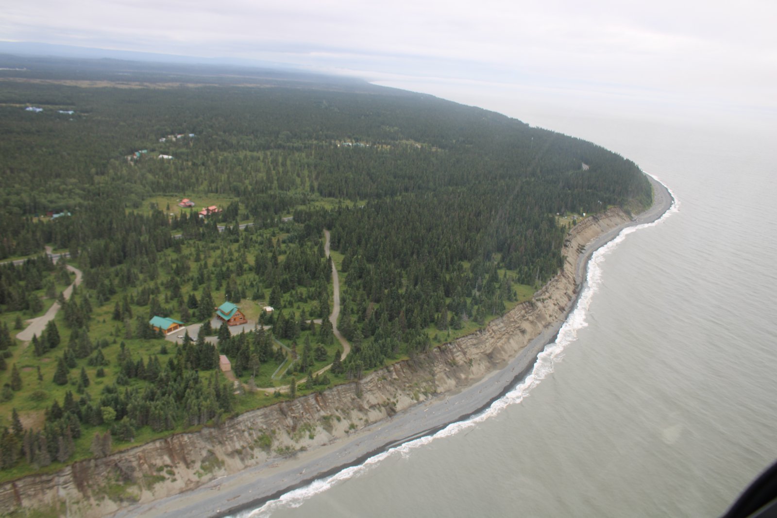
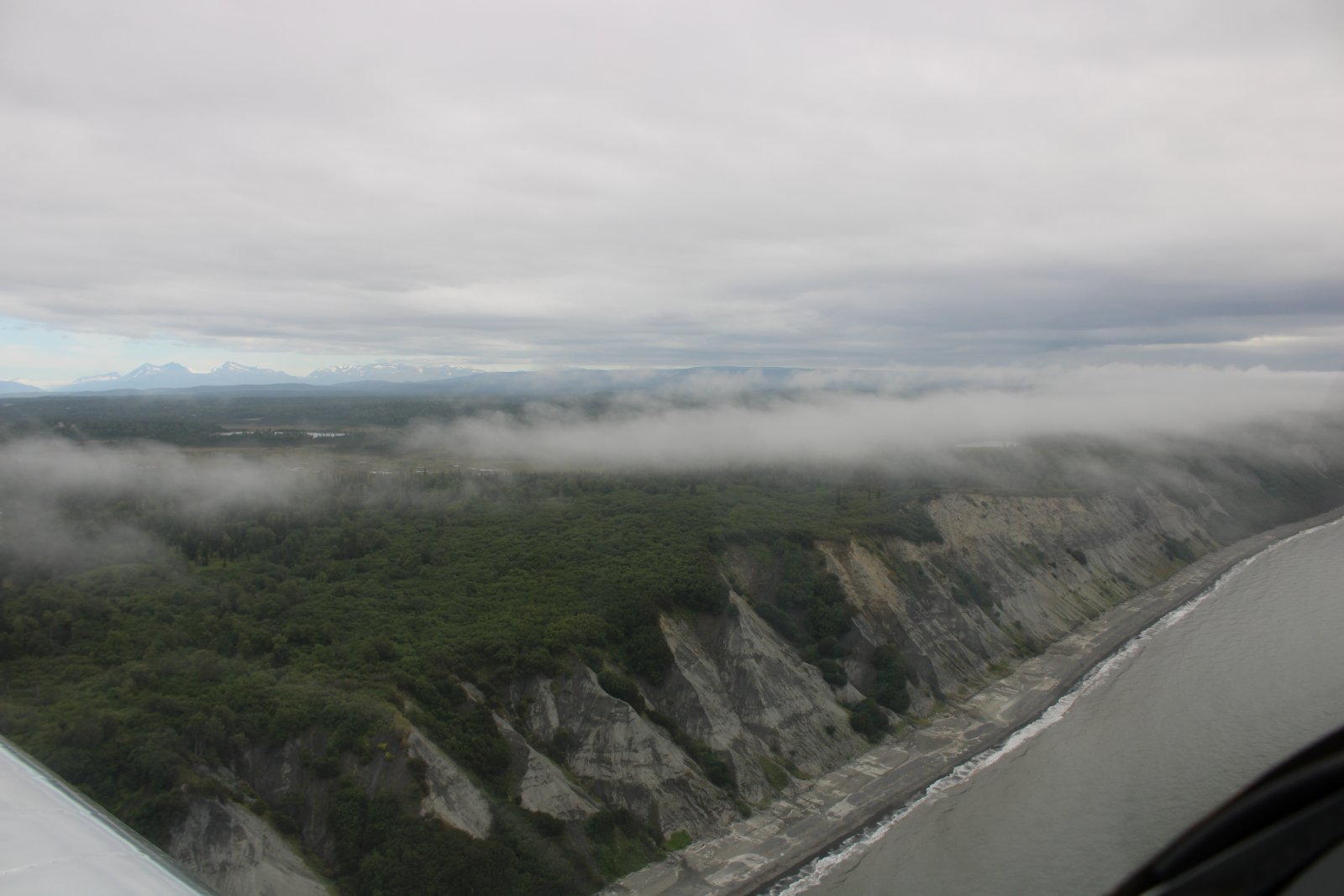
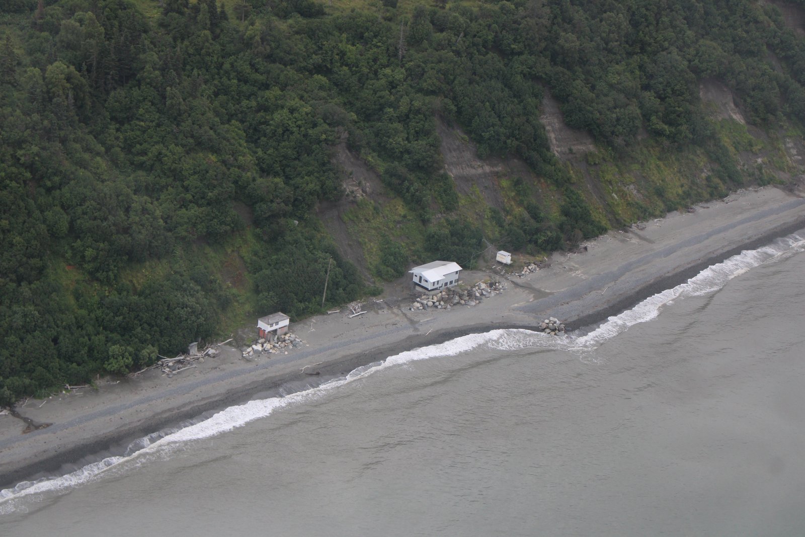
Looking west out into the cold waters of Cook Inlet.
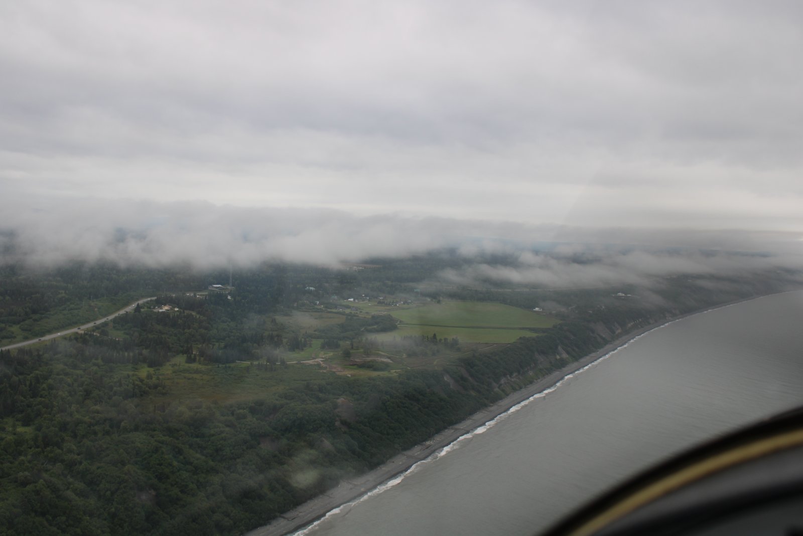
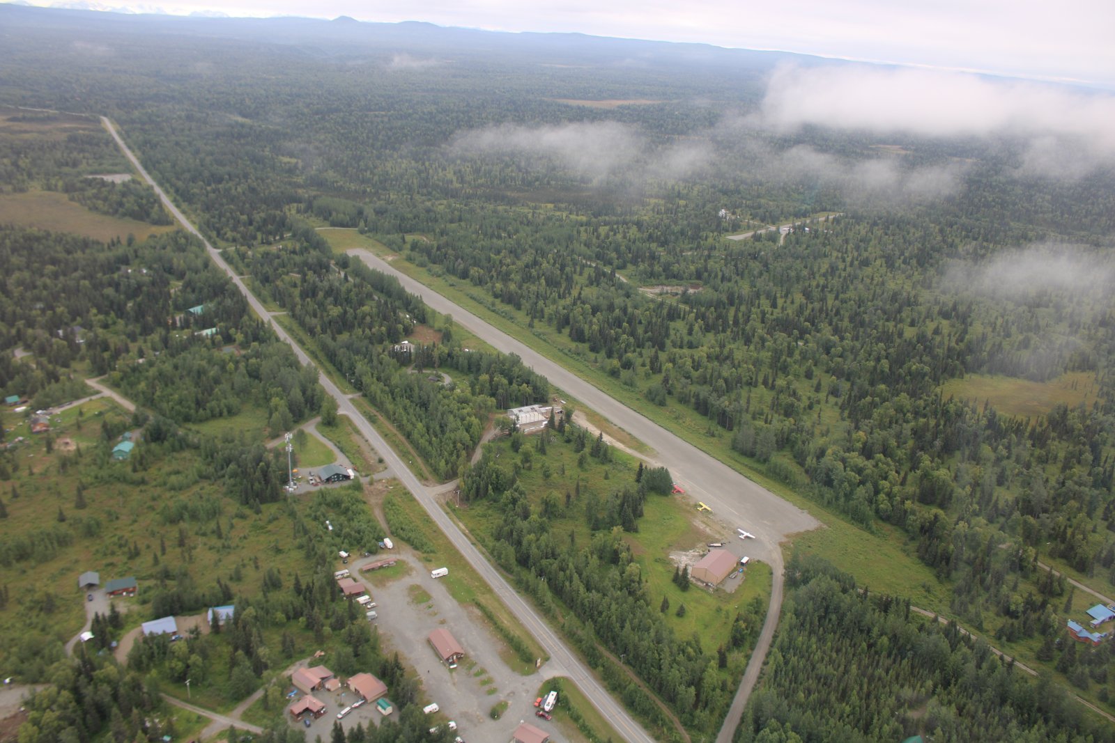
Looking down at Ninilchik Airport which is a public 2,400 foot gravel strip.
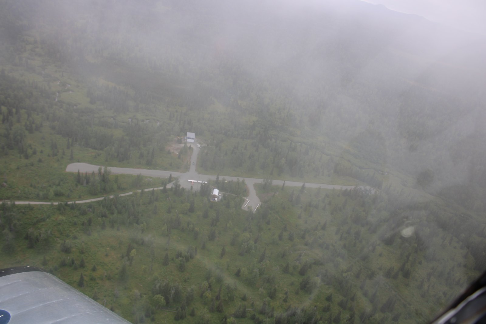
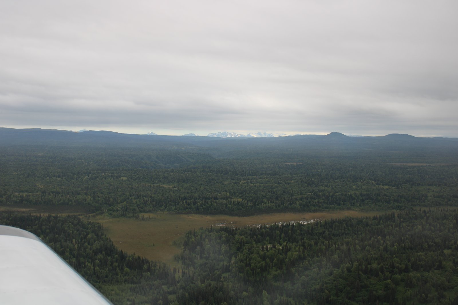
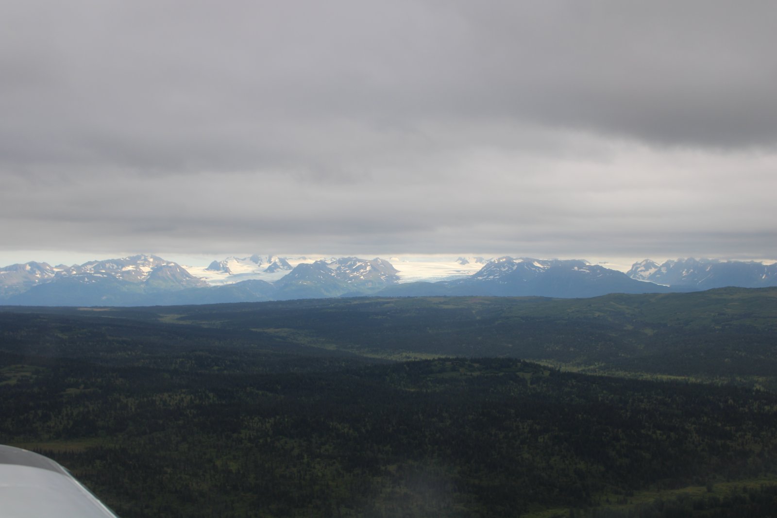
Kachemak Bay shows itself.
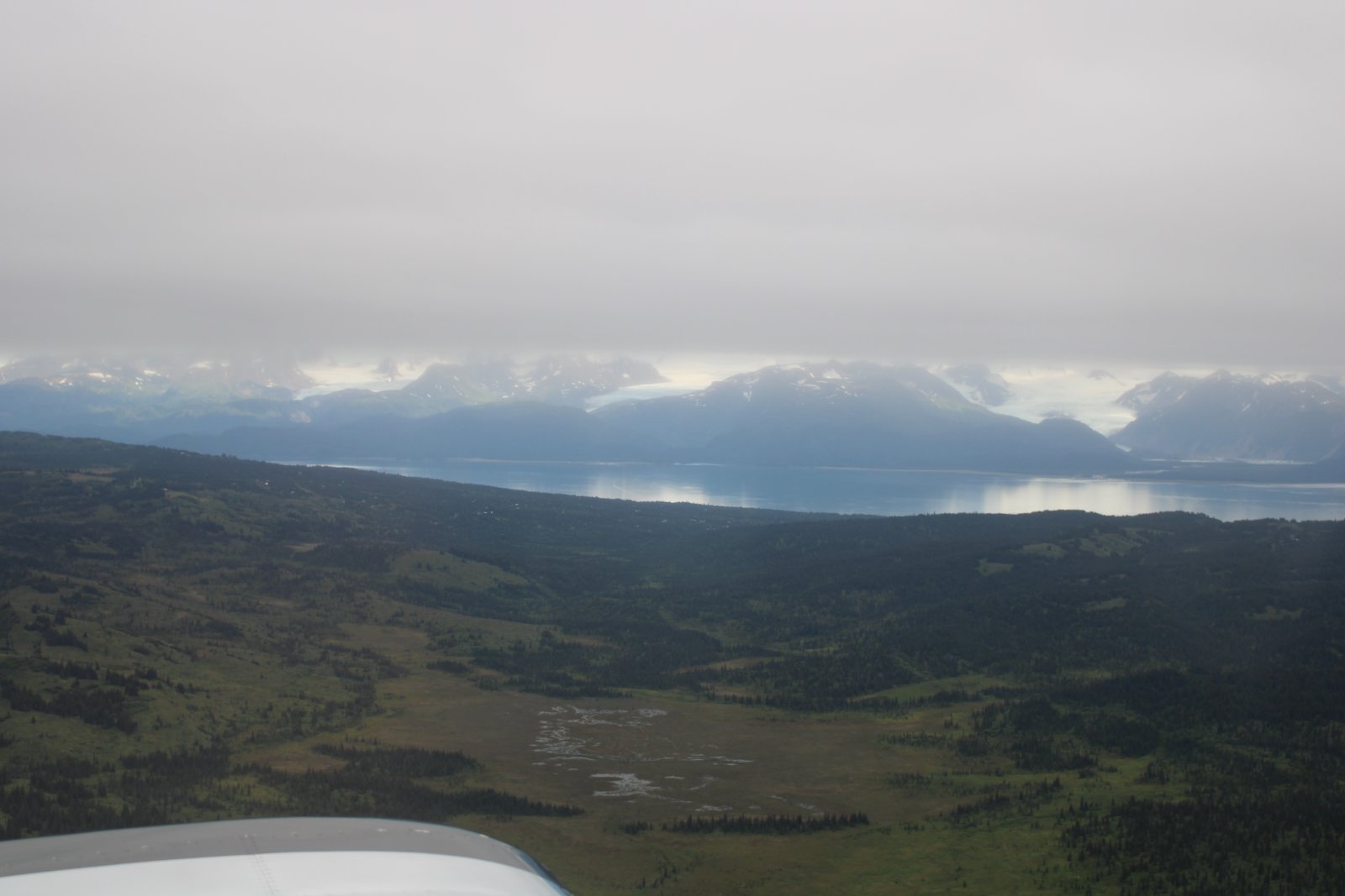
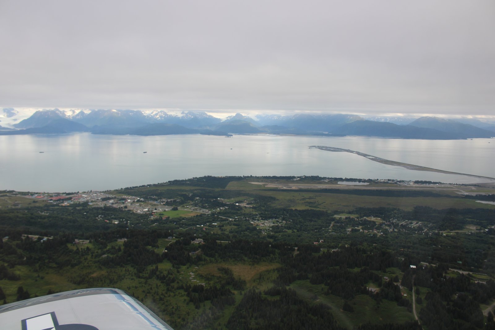
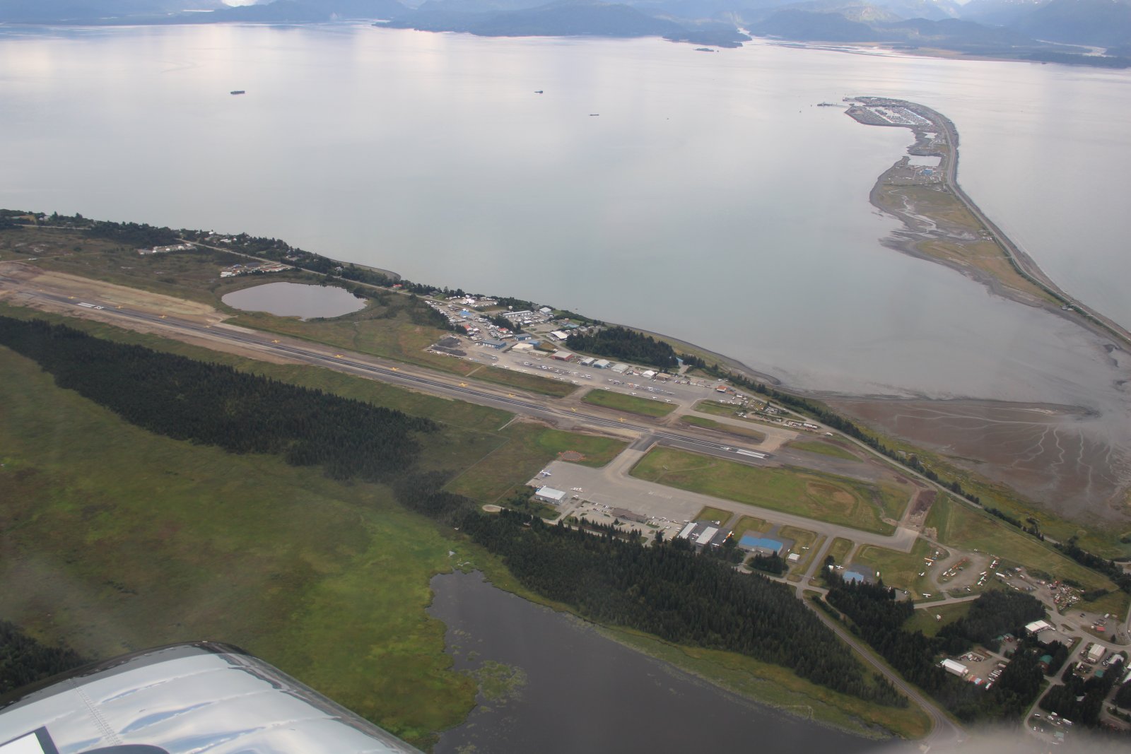
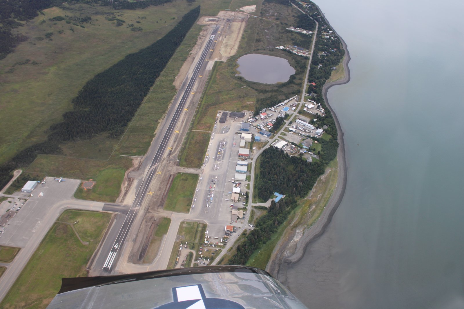
Highway One actually runs to the end of that peninsula!
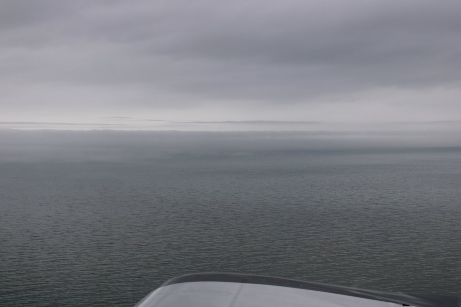
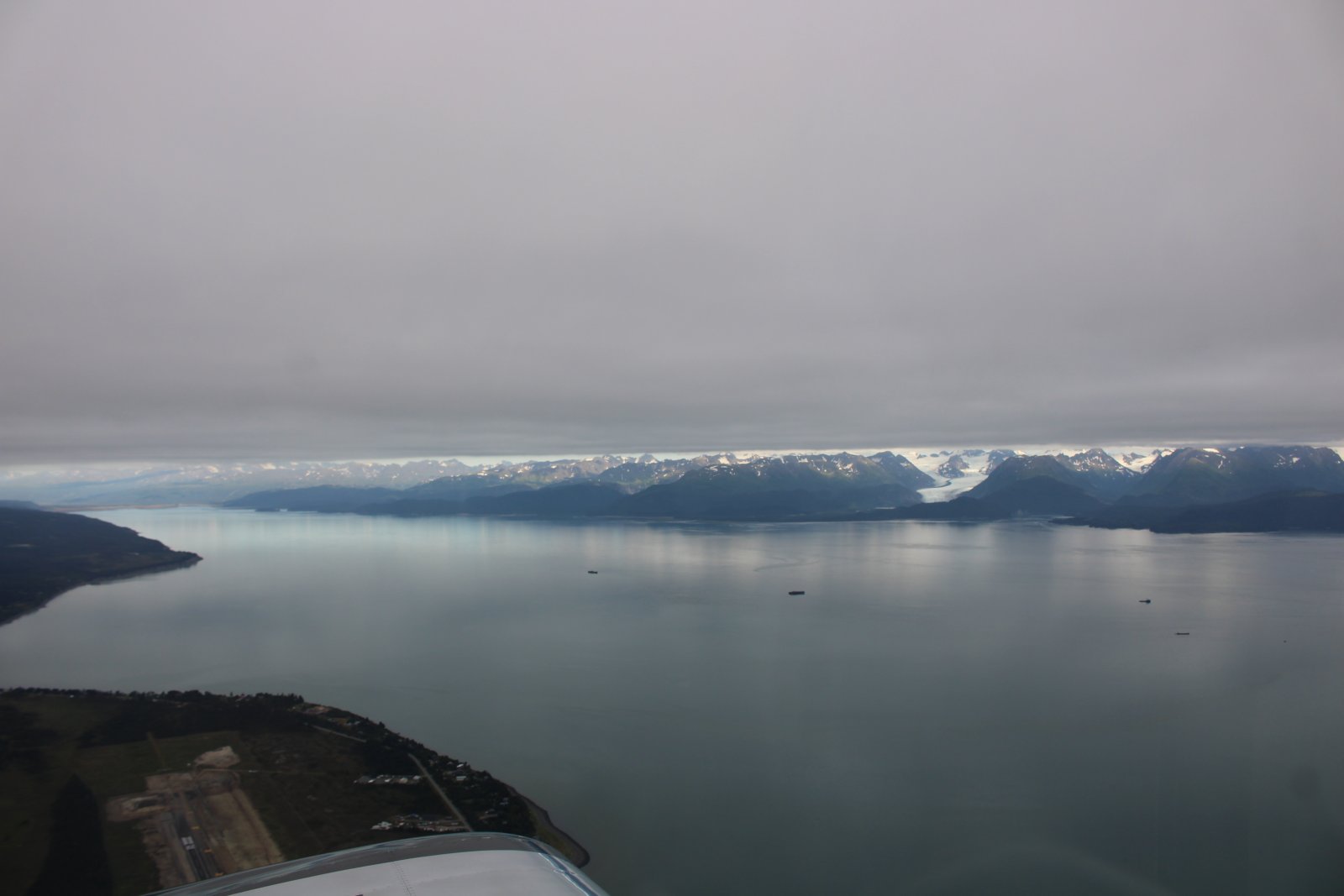
Notice how the overcast cuts off the top of the mountains.
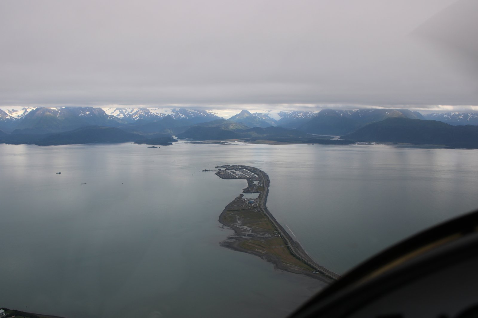
The overcast effect is even more pronouced over Kachemak Bay.
Click next to go to Part Two, the flight back to Wolf Lake where I take the inland route.
The SPOT Track for today.